Transport Functions
Rail
Road
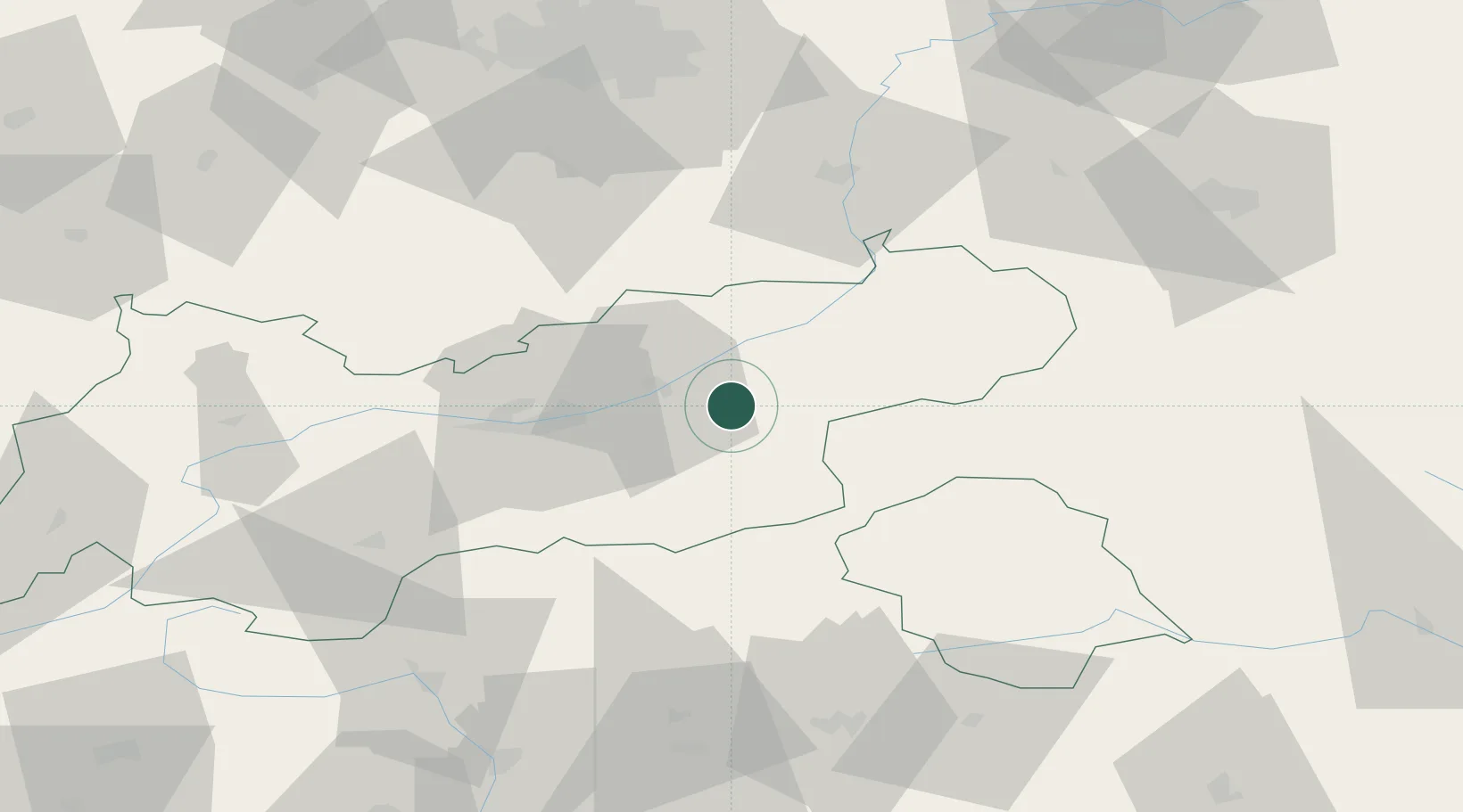
Hub Profile
Place type
District seat
Region
Tyrol
Population
848
Time zone
Europe/Vienna
Elevation
541 m
Location
Nearby Logistics Neighbours
Ports
- 1Nogaro200 km
- 2Grado211 km
- 3Monfalcone214 km
- 4Porto Di Lido-Venezia216 km
- 5Porto Di Chioggia234 km
Airports
- 1Innsbruck Airport40 km
- 2Oberpfaffenhofen Airport96 km
- 3Salzburg Airport101 km
- 4Bolzano Airport104 km
- 5Munich Airport116 km
Trade Zones
- 1Livigno Free Trade Zone160 km
- 2Freeport of Deggendorf187 km
- 3Free Port of Venice212 km
- 4Consorzio Zona Industriale e Porto Fluviale di Padova214 km
- 5Free Port of Trieste235 km
DatabookThe Record of Consolidated Knowledge
Austria beyond logistics?