Transport Functions
Rail
Road
Hub Profile
Region
1
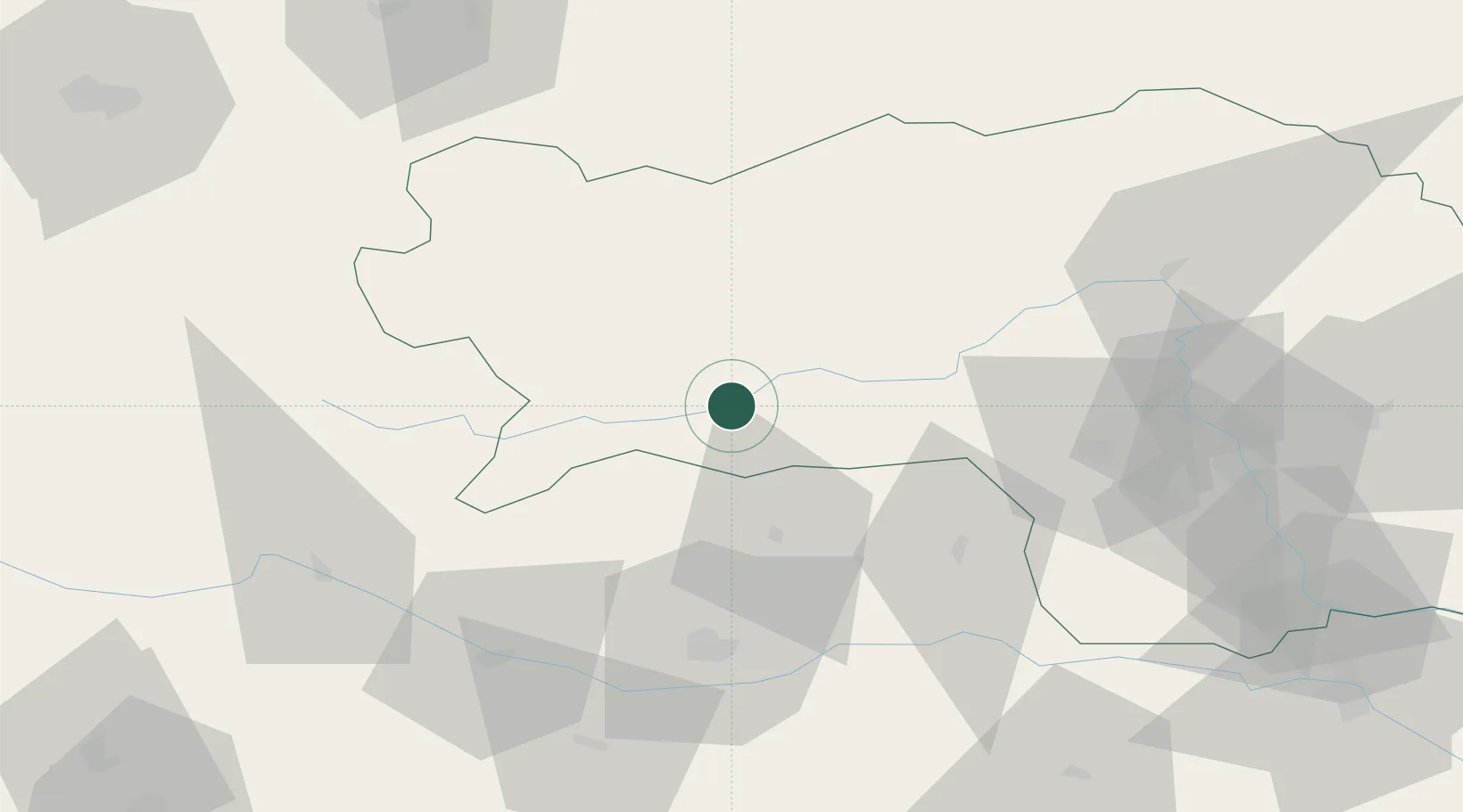
Location
Nearby Logistics Neighbours
Cities
- 1Murau16 km
- 2Pöls17 km
- 3Eppenstein28 km
- 4Mnichovice32 km
- 5Spielberg bei Knittelfeld32 km
Ports
- 1Monfalcone164 km
- 2Trieste173 km
- 3Muggia178 km
- 4Nogaro180 km
- 5Grado181 km
Airports
- 1Hinterstoisser Air Base29 km
- 2Klagenfurt Airport57 km
- 3Graz Airport83 km
- 4Ljubljana Jože Pučnik Airport103 km
- 5Linz-Hörsching Airport121 km
Trade Zones
- 1Krapina-Zagorje Free Zone160 km
- 2Free Port of Trieste174 km
- 3Sjever Free Zone178 km
- 4PJ Free Zone Zagreb190 km
- 5Free Zone Kukuljanovo202 km
DatabookThe Record of Consolidated Knowledge
Austria beyond logistics?