UN/LOCODE hub · Germany
DEBGS

Berg (Traunstein)

47.9667°, 12.8667°
2
Transport functions

Transport Functions

Road
Multimodal
UN/LOCODE

Hub Profile

Region
BY
GeoNames

Location

Location of DEBGS
Natural Earth 10m (public domain) · BY · DEBGS · 47.97, 12.87GoogleOSMYandex

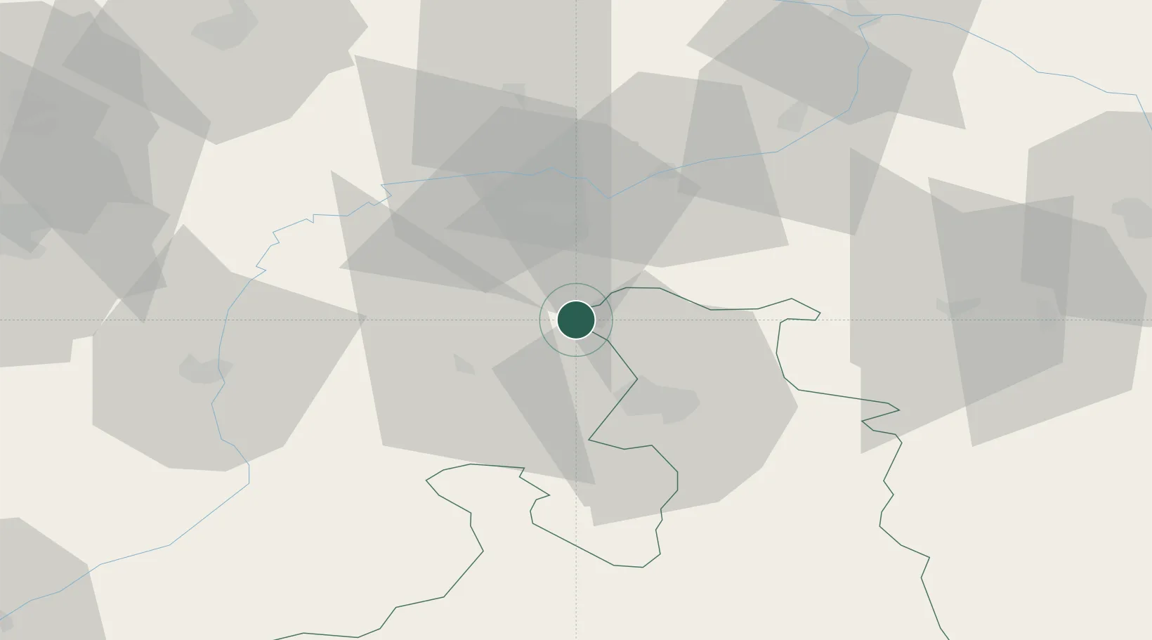
Nearby Logistics Neighbours

Cities
  1. 1Sankt Georgen bei Salzburg2 km
  2. 2Kirchanschoeng3 km
  3. 3Laufen (Salzach)6 km
  4. 4Ostermiething10 km
  5. 5Moosdorf13 km
Nearest neighbours — logibook spatial index (haversine) over the source coordinates
Ports
  1. 1Nogaro247 km
  2. 2Monfalcone248 km
  3. 3Grado255 km
  4. 4Trieste266 km
  5. 5Muggia272 km
Nearest neighbours — logibook spatial index (haversine) over the source coordinates
Airports
  1. 1Salzburg Airport22 km
  2. 2Landshut Airfield86 km
  3. 3Munich Airport91 km
  4. 4Linz-Hörsching Airport103 km
  5. 5Oberpfaffenhofen Airport119 km
Nearest neighbours — logibook spatial index (haversine) over the source coordinates
Trade Zones
  1. 1Freeport of Deggendorf98 km
  2. 2Podbořany Industrial Zone255 km
  3. 3Livigno Free Trade Zone263 km
  4. 4Světlá nad Sázavou Municipal Industrial Zone266 km
  5. 5Free Port of Trieste267 km
Nearest neighbours — logibook spatial index (haversine) over the source coordinates
DatabookThe Record of Consolidated Knowledge
Germany beyond logistics?
Browse databook

All Sources

LocationsUN/LOCODE
UN/LOCODE — free
Portsthe NGA World Port Index
Public domain (US gov)
AirportsOurAirports
Public domain
Trade Zonesthe World Bank SEZ database
CC BY 4.0
Trade ZonesOpen Zone Map
CC BY
← Germany locations