UN/LOCODE hub · Austria
ATSGS
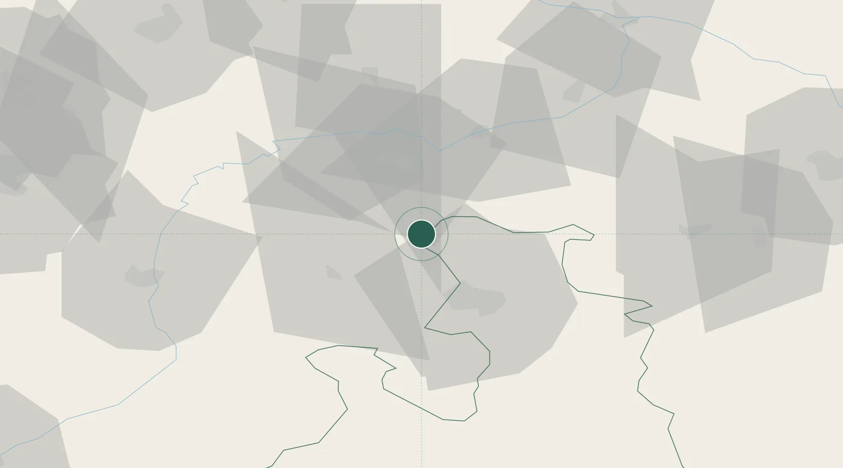
Sankt Georgen bei Salzburg
47.9833°, 12.8833°
297
Population
3
Transport functions
Transport Functions
Port
Rail
Road
Hub Profile
Place type
Populated place
Region
Salzburg
Population
297
Time zone
Europe/Vienna
Elevation
414 m
Location
Nearby Logistics Neighbours
Cities
- 1Berg (Traunstein)2 km
- 2Kirchanschoeng5 km
- 3Laufen (Salzach)7 km
- 4Ostermiething8 km
- 5Moosdorf11 km
Ports
- 1Nogaro248 km
- 2Monfalcone250 km
- 3Grado256 km
- 4Trieste268 km
- 5Muggia273 km
Airports
- 1Salzburg Airport23 km
- 2Landshut Airfield86 km
- 3Munich Airport91 km
- 4Linz-Hörsching Airport101 km
- 5Oberpfaffenhofen Airport120 km
Trade Zones
- 1Freeport of Deggendorf96 km
- 2Podbořany Industrial Zone253 km
- 3Světlá nad Sázavou Municipal Industrial Zone264 km
- 4Livigno Free Trade Zone265 km
- 5Free Port of Trieste268 km
DatabookThe Record of Consolidated Knowledge
Austria beyond logistics?