Transport Functions
Multimodal
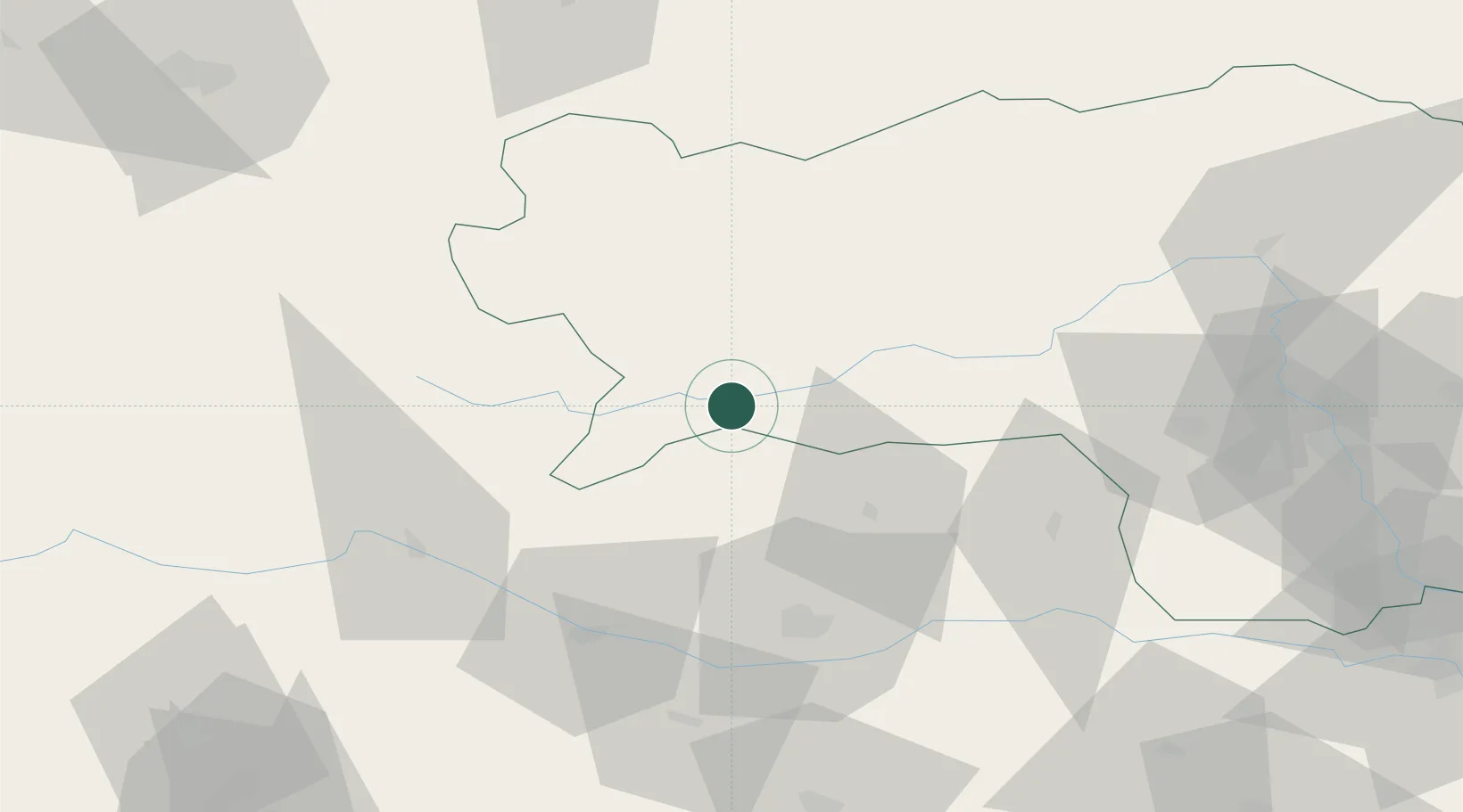
Hub Profile
Place type
District seat
Region
Styria
Population
3,534
Time zone
Europe/Vienna
Elevation
841 m
Location
Nearby Logistics Neighbours
Cities
- 1Niederwölz16 km
- 2Tamsweg28 km
- 3Pöls33 km
- 4Treibach Althofen35 km
- 5Meiselding35 km
Ports
- 1Monfalcone154 km
- 2Trieste164 km
- 3Nogaro168 km
- 4Muggia170 km
- 5Grado170 km
Airports
- 1Hinterstoisser Air Base45 km
- 2Klagenfurt Airport53 km
- 3Graz Airport97 km
- 4Ljubljana Jože Pučnik Airport100 km
- 5Salzburg Airport117 km
Trade Zones
- 1Free Port of Trieste165 km
- 2Krapina-Zagorje Free Zone168 km
- 3Sjever Free Zone189 km
- 4PJ Free Zone Zagreb195 km
- 5Free Zone Kukuljanovo198 km
DatabookThe Record of Consolidated Knowledge
Austria beyond logistics?