Transport Functions
Port
Multimodal
Hub Profile
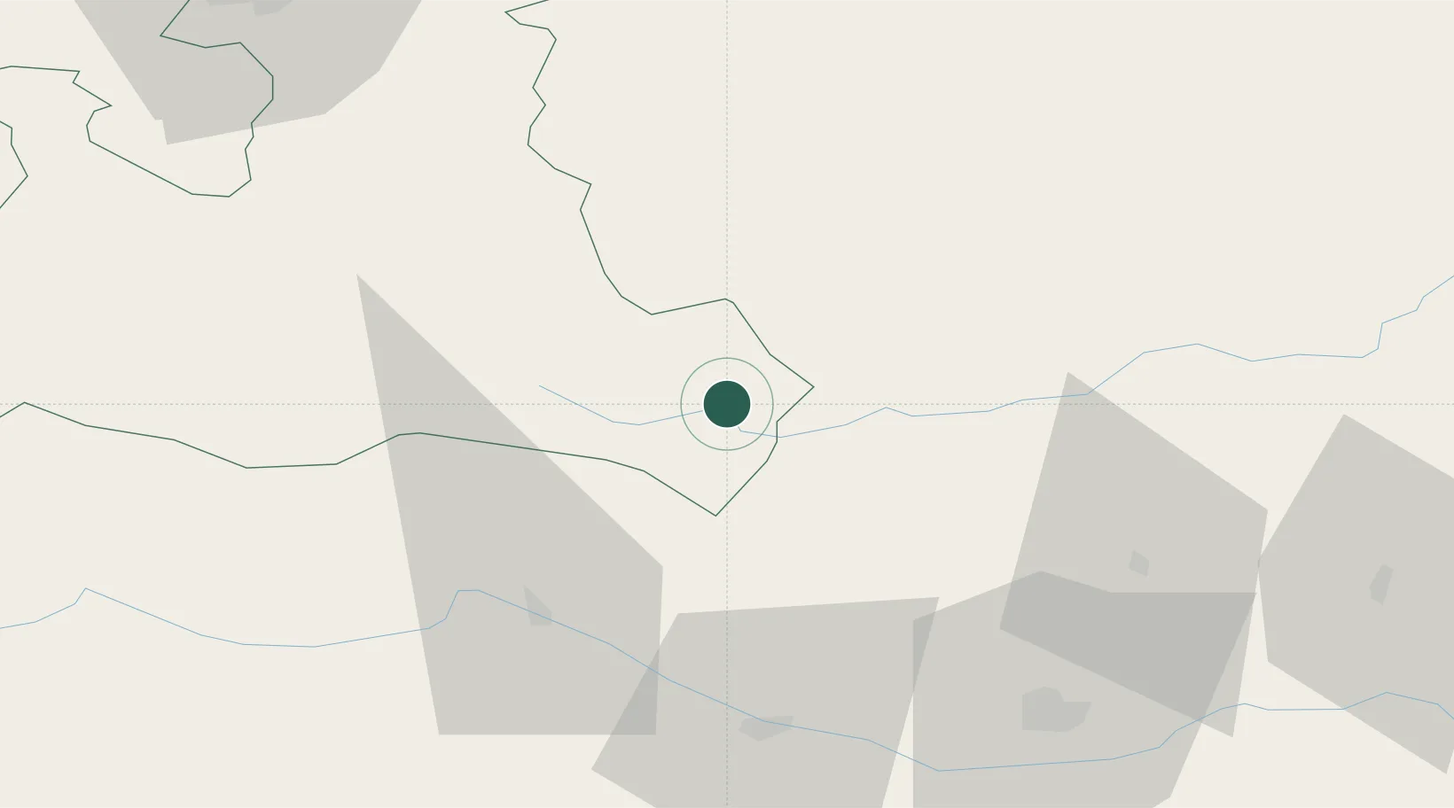
Place type
District seat
Region
Salzburg
Population
3,509
Time zone
Europe/Vienna
Elevation
1,026 m
Location
Nearby Logistics Neighbours
Cities
- 1Murau28 km
- 2Forstau33 km
- 3Gmünd In Kärnten33 km
- 4Mandling35 km
- 5Radstadt38 km
Ports
- 1Monfalcone151 km
- 2Nogaro160 km
- 3Grado164 km
- 4Trieste165 km
- 5Muggia171 km
Airports
- 1Klagenfurt Airport68 km
- 2Hinterstoisser Air Base72 km
- 3Salzburg Airport95 km
- 4Ljubljana Jože Pučnik Airport113 km
- 5Graz Airport125 km
Trade Zones
- 1Free Port of Trieste165 km
- 2Krapina-Zagorje Free Zone193 km
- 3Freeport of Deggendorf202 km
- 4Free Zone Kukuljanovo207 km
- 5Sjever Free Zone215 km
DatabookThe Record of Consolidated Knowledge
Austria beyond logistics?