UN/LOCODE hub · Austria
ATMHE

Münichreith

48.2667°, 15.1333°
2
Transport functions

Transport Functions

Road
Multimodal
UN/LOCODE

Location

Location of ATMHE
Natural Earth 10m (public domain) · Niederösterreich · ATMHE · 48.27, 15.13GoogleOSMYandex

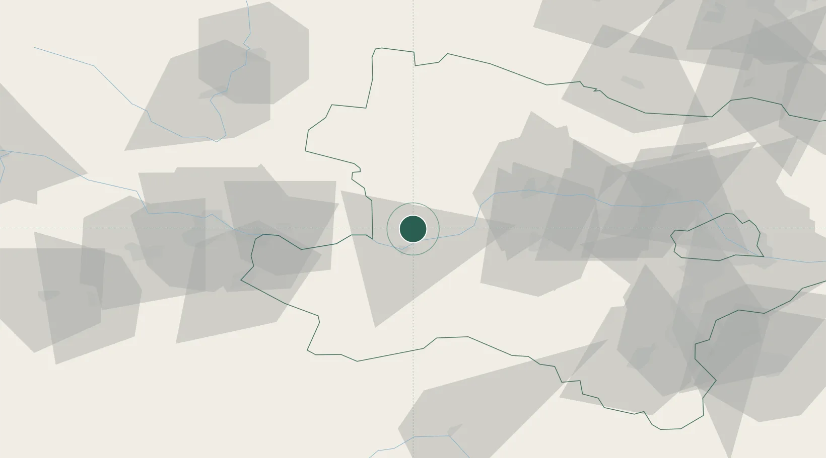
Nearby Logistics Neighbours

Cities
  1. 1Granz6 km
  2. 2Marbach an der Donau6 km
  3. 3Krummnussbaum6 km
  4. 4Kleinpöchlarn8 km
  5. 5Persenbeug11 km
Nearest neighbours — logibook spatial index (haversine) over the source coordinates
Ports
  1. 1Monfalcone301 km
  2. 2Trieste309 km
  3. 3Muggia314 km
  4. 4Nogaro316 km
  5. 5Grado318 km
Nearest neighbours — logibook spatial index (haversine) over the source coordinates
Airports
  1. 1Linz-Hörsching Airport70 km
  2. 2České Budějovice South Bohemian Airport92 km
  3. 3Wiener Neustadt West Airport94 km
  4. 4Wiener Neustadt East Airport96 km
  5. 5Vienna International Airport108 km
Nearest neighbours — logibook spatial index (haversine) over the source coordinates
Trade Zones
  1. 1Černovická Terasa Industrial Zone151 km
  2. 2Světlá nad Sázavou Municipal Industrial Zone157 km
  3. 3Freeport of Deggendorf176 km
  4. 4Veselí nad Moravou Industrial Zone182 km
  5. 5Industrial Zone Kutna Hora186 km
Nearest neighbours — logibook spatial index (haversine) over the source coordinates
DatabookThe Record of Consolidated Knowledge
Austria beyond logistics?
Browse databook

All Sources

LocationsUN/LOCODE
UN/LOCODE — free
Portsthe NGA World Port Index
Public domain (US gov)
AirportsOurAirports
Public domain
Trade Zonesthe World Bank SEZ database
CC BY 4.0
Trade ZonesOpen Zone Map
CC BY
← Austria locations