Transport Functions
Rail
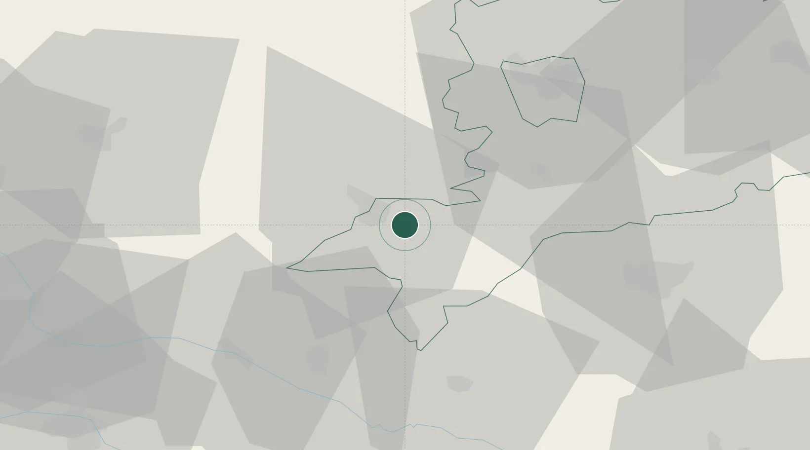
Hub Profile
Place type
Populated place
Region
Vas County
Population
8,862
Time zone
Europe/Budapest
Elevation
229 m
Location
Nearby Logistics Neighbours
Cities
- 1Ratot8 km
- 2Nádasd22 km
- 3Körmend22 km
- 4Oberlamm22 km
- 5Fürstenfeld22 km
Ports
- 1Bakar230 km
- 2Rijeka Luka232 km
- 3Omisalj237 km
- 4Senj245 km
- 5Trieste246 km
Airports
- 1Graz Airport68 km
- 2Hévíz–Balaton Airport69 km
- 3Maribor Edvard Rusjan Airport72 km
- 4Wiener Neustadt West Airport99 km
- 5Wiener Neustadt East Airport100 km
Trade Zones
- 1Sjever Free Zone73 km
- 2Krapina-Zagorje Free Zone96 km
- 3PJ Free Zone Zagreb133 km
- 4Free Zone Kukuljanovo228 km
- 5Göd Special Economic Zone229 km
DatabookThe Record of Consolidated Knowledge
Hungary beyond logistics?