UN/LOCODE hub · Austria
ATSWH
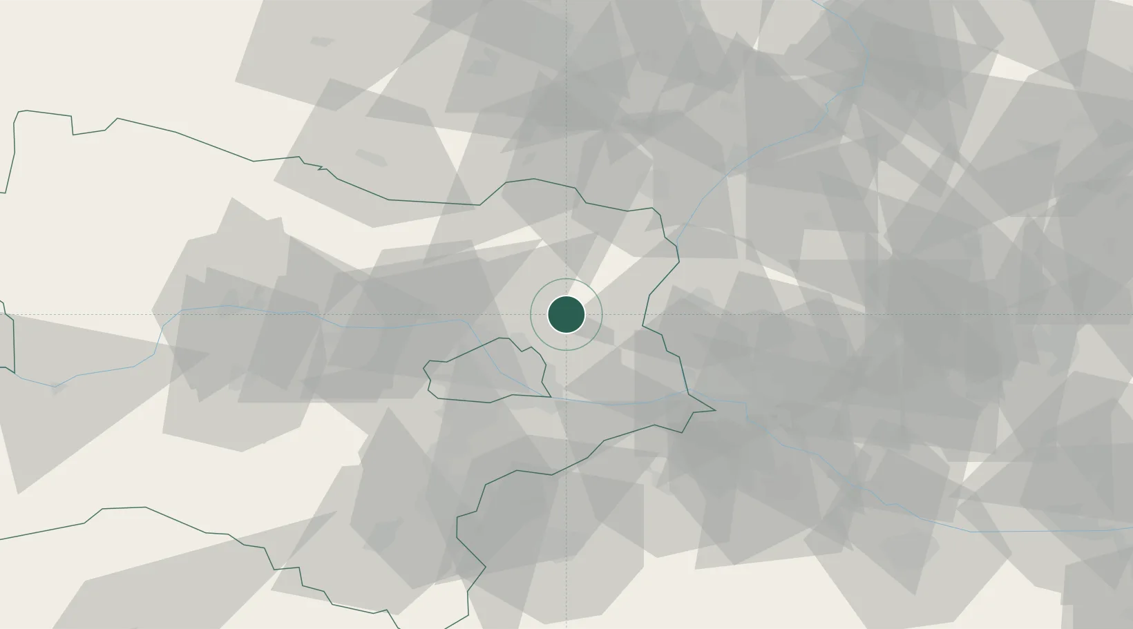
Gross-Schweinbarth
48.4000°, 16.6167°
1,245
Population
2
Transport functions
Transport Functions
Port
Road
Hub Profile
Place type
District seat
Region
Lower Austria
Population
1,245
Time zone
Europe/Vienna
Elevation
176 m
Location
Nearby Logistics Neighbours
Cities
- 1Raggendorf3 km
- 2Auersthal4 km
- 3Kleinharras6 km
- 4Hohenruppersdorf8 km
- 5Prottes9 km
Ports
- 1Monfalcone372 km
- 2Trieste375 km
- 3Muggia379 km
- 4Rijeka Luka379 km
- 5Bakar379 km
Airports
Trade Zones
DatabookThe Record of Consolidated Knowledge
Austria beyond logistics?