Transport Functions
Multimodal
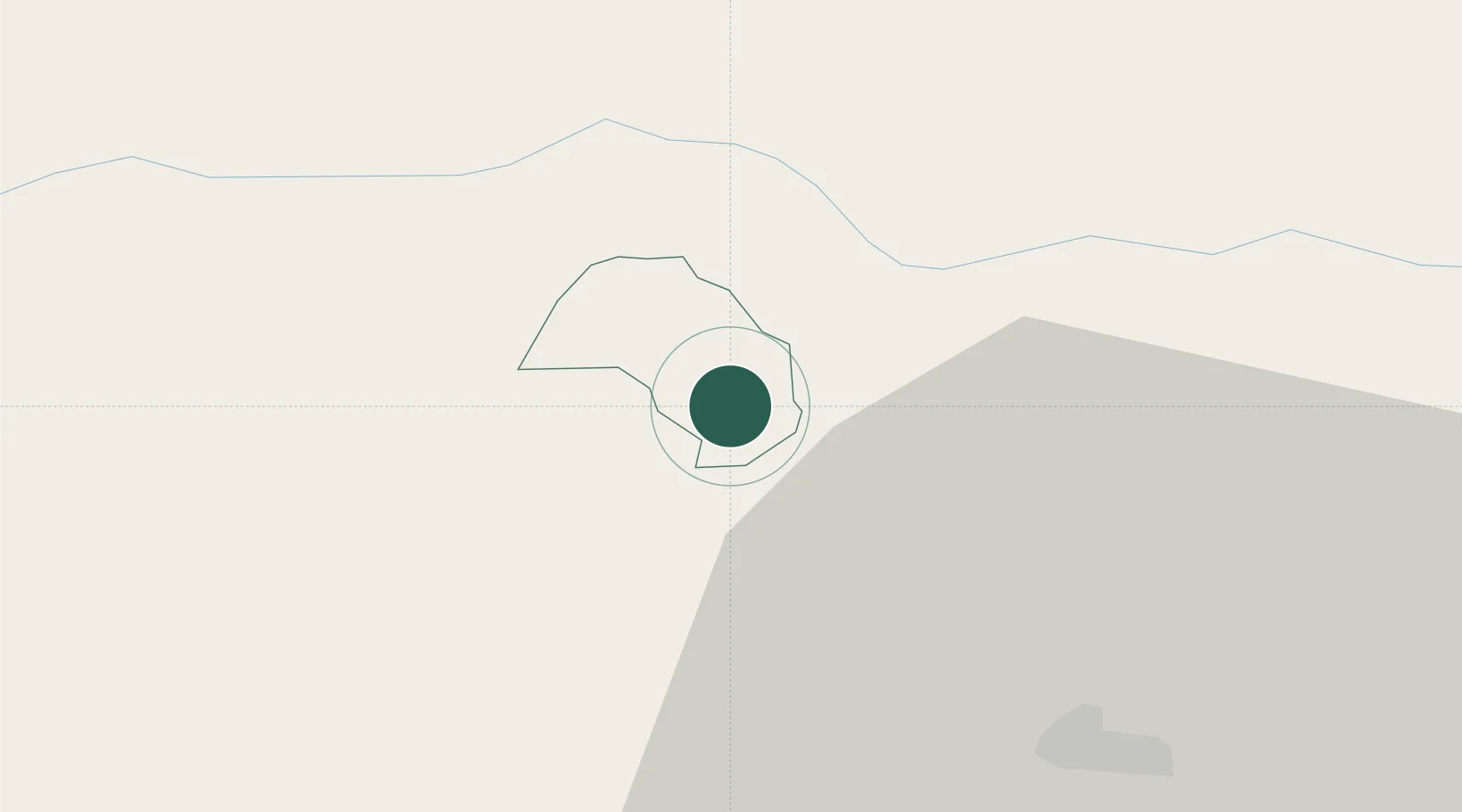
Hub Profile
Place type
Regional capital
Region
Prevalje
Population
4,643
Time zone
Europe/Ljubljana
Elevation
409 m
Location
Nearby Logistics Neighbours
Cities
- 1Mezica5 km
- 2Sentjanz pri Dravogradu9 km
- 3Bleiburg11 km
- 4Sostanj20 km
- 5Vuzenica20 km
Ports
- 1Trieste133 km
- 2Monfalcone134 km
- 3Muggia137 km
- 4Rijeka Luka139 km
- 5Bakar140 km
Airports
- 1Klagenfurt Airport46 km
- 2Ljubljana Jože Pučnik Airport49 km
- 3Maribor Edvard Rusjan Airport59 km
- 4Graz Airport65 km
- 5Hinterstoisser Air Base76 km
Trade Zones
- 1Krapina-Zagorje Free Zone85 km
- 2PJ Free Zone Zagreb110 km
- 3Sjever Free Zone112 km
- 4Free Port of Trieste133 km
- 5Free Zone Kukuljanovo137 km
DatabookThe Record of Consolidated Knowledge
Slovenia beyond logistics?