Transport Functions
Rail
Road
Hub Profile
Place type
Provincial seat
Region
Buenos Aires
Population
53,941
Time zone
America/Argentina/Buenos_Aires
Elevation
137 m
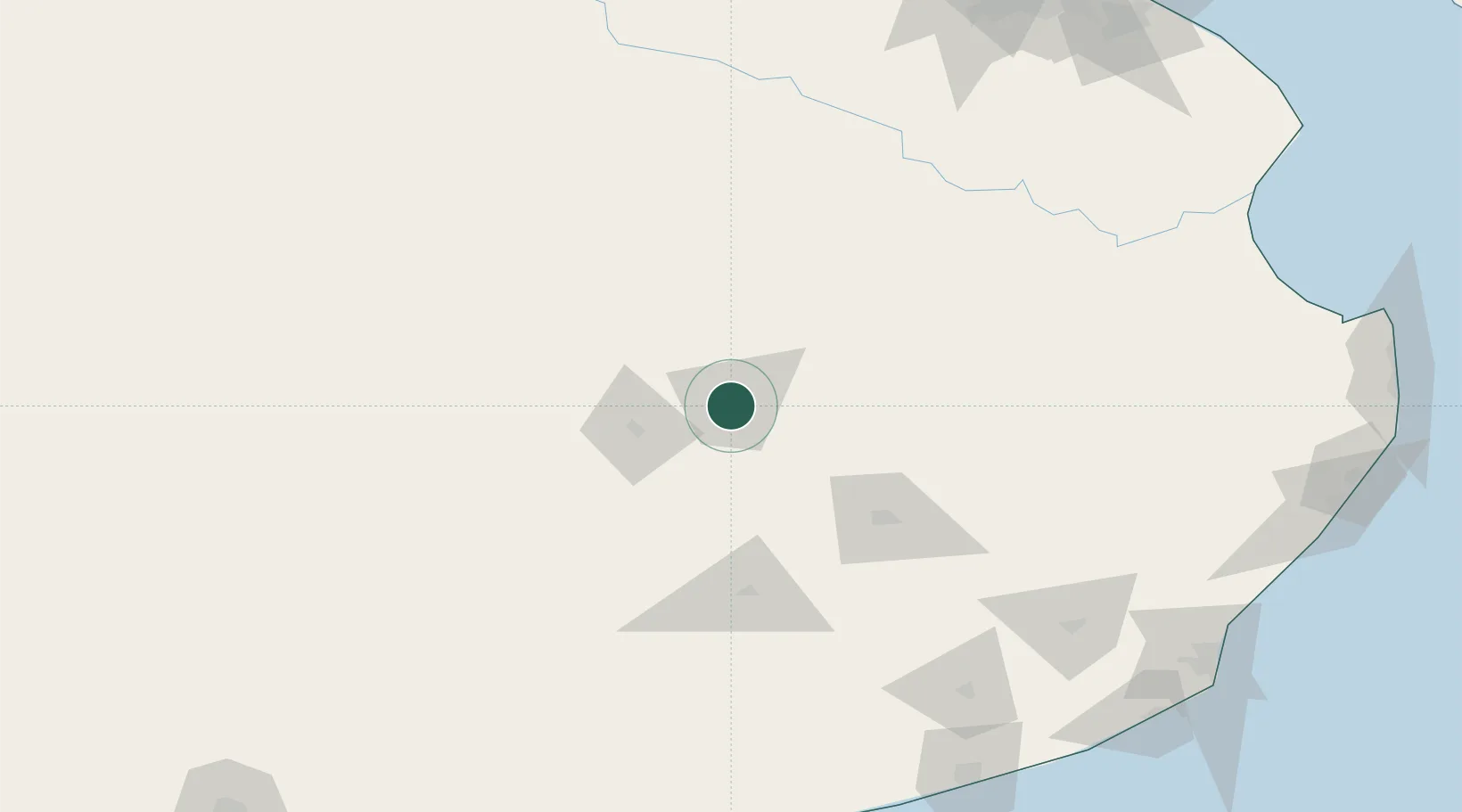
Location
Nearby Logistics Neighbours
Cities
- 1Olavarría43 km
- 2Saladillo128 km
- 3Villa Lynch135 km
- 4Herrera Vegas159 km
- 5Daireaux169 km
Ports
- 1Quequen225 km
- 2Mar Del Plata249 km
- 3Buenos Aires278 km
- 4La Plata281 km
- 5Campana304 km
Airports
- 1Héroes de Malvinas Airport76 km
- 2Tres Arroyos Airport183 km
- 3Comodoro Pedro Zanni Airport207 km
- 4Necochea Airport211 km
- 5Ástor Piazzola International Airport240 km
Trade Zones
- 1Zona Sur Buenos Aires268 km
- 2La Plata Free Trade Zone278 km
- 3Zona Franca Bahía Blanca301 km
- 4Colonia Free Zone316 km
- 5Montes de Plata Free Zone328 km
DatabookThe Record of Consolidated Knowledge
Argentina beyond logistics?