Transport Functions
Rail
Road
Hub Profile
Place type
Provincial seat
Region
Buenos Aires
Population
35,669
Time zone
America/Argentina/Buenos_Aires
Elevation
47 m
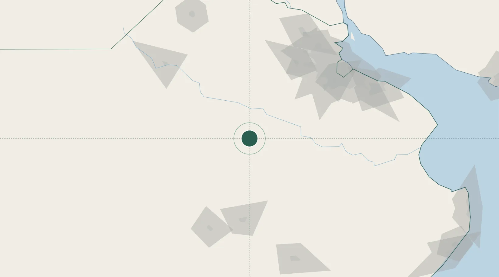
Location
Nearby Logistics Neighbours
Cities
- 1Moquehuá61 km
- 2Alberti82 km
- 3Chivilcoy85 km
- 4Bragado88 km
- 5Nueve de Julio103 km
Ports
- 1Buenos Aires172 km
- 2Campana180 km
- 3Zarate185 km
- 4La Plata193 km
- 5Puerto Ibicuy216 km
Airports
- 1Ezeiza International Airport - Ministro Pistarini144 km
- 2El Palomar Airport155 km
- 3San Fernando Airport169 km
- 4Aeroparque Jorge Newbery171 km
- 5Héroes de Malvinas Airport184 km
Trade Zones
- 1Zona Sur Buenos Aires159 km
- 2La Plata Free Trade Zone190 km
- 3Colonia Free Zone219 km
- 4Montes de Plata Free Zone221 km
- 5Nueva Palmira Free Zone230 km
DatabookThe Record of Consolidated Knowledge
Argentina beyond logistics?