UN/LOCODE hub · Argentina
ARMOQ

Moquehuá

-35.0833°, -59.8000°
1
Transport functions

Transport Functions

Multimodal
UN/LOCODE

Hub Profile

Place type
Populated place
GeoNames
Region
Buenos Aires
GeoNames
Time zone
America/Argentina/Buenos_Aires
GeoNames
Elevation
48 m
GeoNames

Location

Location of ARMOQ
Natural Earth 10m (public domain) · Buenos Aires · ARMOQ · -35.08, -59.80GoogleOSMYandex

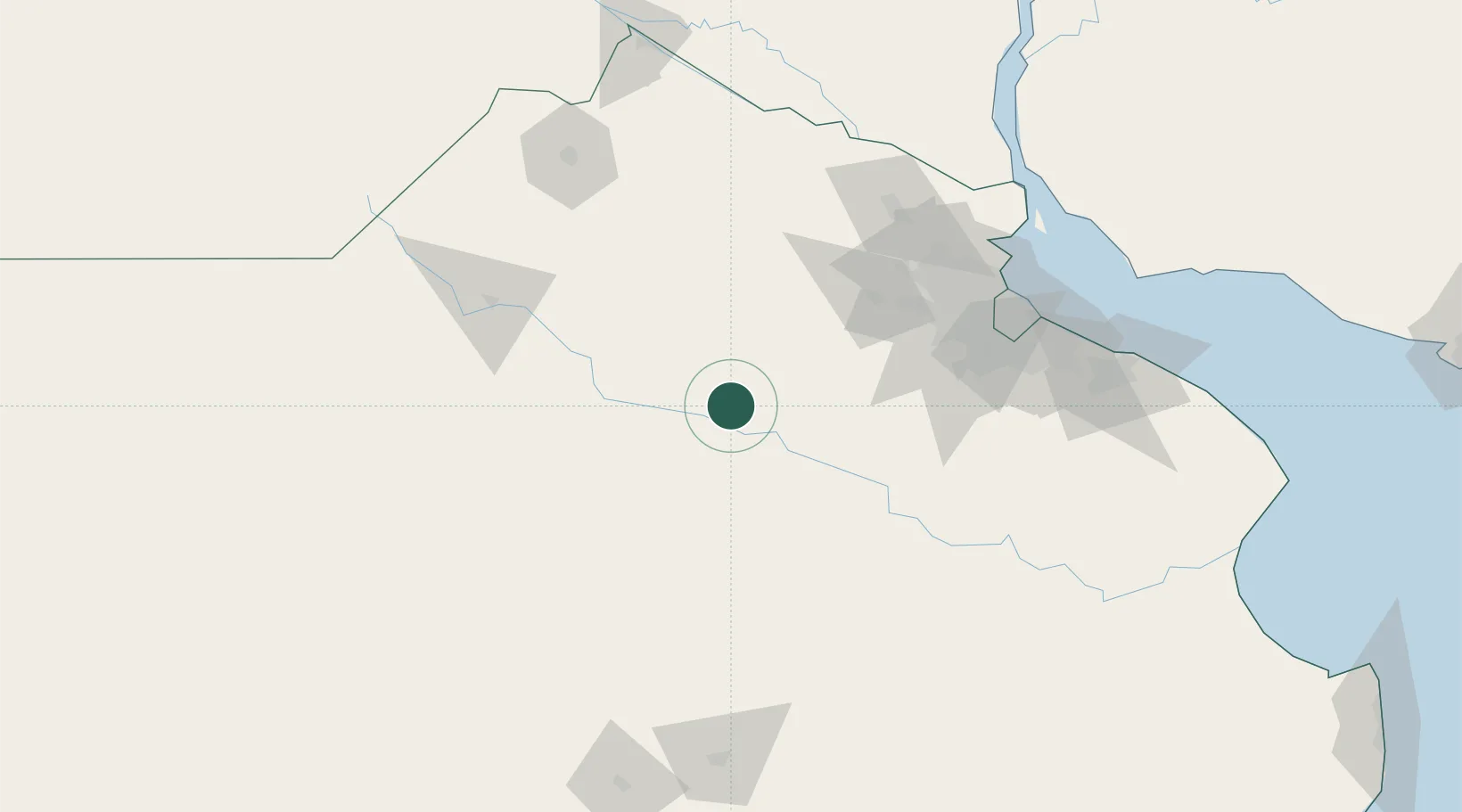
Nearby Logistics Neighbours

Cities
  1. 1Chivilcoy30 km
  2. 2Alberti44 km
  3. 3Saladillo61 km
  4. 4Bragado64 km
  5. 5San Andrés de Giles78 km
Nearest neighbours — logibook spatial index (haversine) over the source coordinates
Ports
  1. 1Campana129 km
  2. 2Zarate132 km
  3. 3Buenos Aires141 km
  4. 4Puerto Ibicuy159 km
  5. 5San Pedro167 km
Nearest neighbours — logibook spatial index (haversine) over the source coordinates
Airports
  1. 1Ezeiza International Airport - Ministro Pistarini119 km
  2. 2El Palomar Airport121 km
  3. 3San Fernando Airport131 km
  4. 4Aeroparque Jorge Newbery139 km
  5. 5(Duplicate)Aeropuerto Pergamino150 km
Nearest neighbours — logibook spatial index (haversine) over the source coordinates
Trade Zones
  1. 1Zona Sur Buenos Aires128 km
  2. 2La Plata Free Trade Zone175 km
  3. 3Nueva Palmira Free Zone184 km
  4. 4Montes de Plata Free Zone186 km
  5. 5Colonia Free Zone192 km
Nearest neighbours — logibook spatial index (haversine) over the source coordinates
DatabookThe Record of Consolidated Knowledge
Argentina beyond logistics?
Browse databook

All Sources

LocationsUN/LOCODE
UN/LOCODE — free
Portsthe NGA World Port Index
Public domain (US gov)
AirportsOurAirports
Public domain
Trade Zonesthe World Bank SEZ database
CC BY 4.0
Trade ZonesOpen Zone Map
CC BY
← Argentina locations