Transport Functions
Rail
Road
Hub Profile
Place type
Provincial seat
Region
Buenos Aires
Time zone
America/Argentina/Buenos_Aires
Elevation
40 m
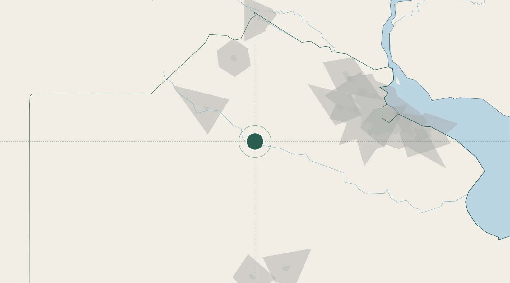
Location
Nearby Logistics Neighbours
Cities
- 1Bragado22 km
- 2Chivilcoy27 km
- 3Moquehuá44 km
- 4Chacabuco48 km
- 5Nueve de Julio72 km
Ports
- 1Campana156 km
- 2Zarate156 km
- 3San Pedro167 km
- 4Ramallo174 km
- 5Puerto Ibicuy175 km
Airports
Trade Zones
- 1Zona Sur Buenos Aires168 km
- 2Nueva Palmira Free Zone213 km
- 3La Plata Free Trade Zone218 km
- 4Montes de Plata Free Zone223 km
- 5Colonia Free Zone233 km
DatabookThe Record of Consolidated Knowledge
Argentina beyond logistics?