Transport Functions
Rail
Road
Hub Profile
Place type
Provincial seat
Region
Buenos Aires
Population
34,587
Time zone
America/Argentina/Buenos_Aires
Elevation
66 m
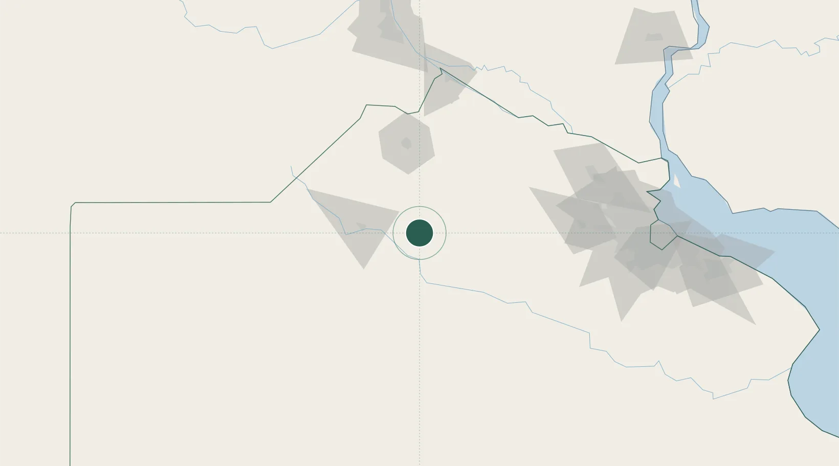
Location
Nearby Logistics Neighbours
Cities
- 1Campo Salto44 km
- 2Alberti48 km
- 3Chivilcoy50 km
- 4Bragado54 km
- 5Arrecifes69 km
Ports
- 1San Pedro131 km
- 2Ramallo134 km
- 3Zarate145 km
- 4San Nicolas146 km
- 5Campana148 km
Airports
Trade Zones
- 1Zona Sur Buenos Aires180 km
- 2Nueva Palmira Free Zone206 km
- 3Montes de Plata Free Zone226 km
- 4La Plata Free Trade Zone235 km
- 5Colonia Free Zone242 km
DatabookThe Record of Consolidated Knowledge
Argentina beyond logistics?