Transport Functions
Rail
Road
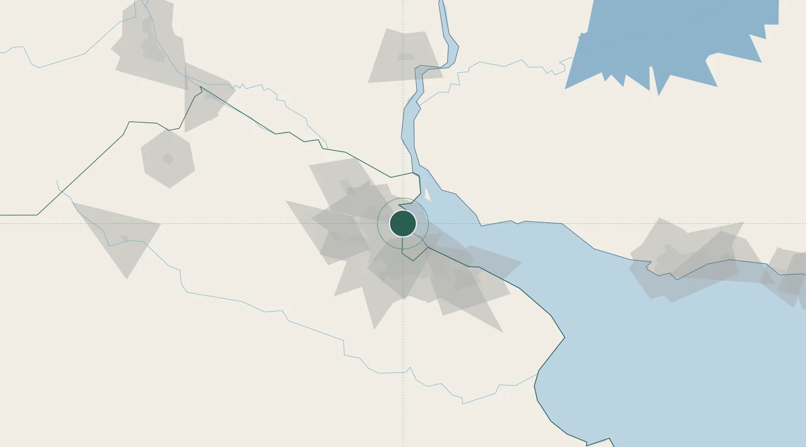
Hub Profile
Place type
Populated place
Region
Buenos Aires
Time zone
America/Argentina/Buenos_Aires
Elevation
11 m
Location
Nearby Logistics Neighbours
Cities
- 1Tigre6 km
- 2Vicente López9 km
- 3Villa Bosch15 km
- 4Pablo Podestá17 km
- 5Caseros19 km
Ports
- 1Buenos Aires23 km
- 2Campana52 km
- 3Zarate61 km
- 4Colonia63 km
- 5Nueva Palmira64 km
Airports
Trade Zones
- 1Zona Sur Buenos Aires22 km
- 2Montes de Plata Free Zone51 km
- 3Nueva Palmira Free Zone64 km
- 4Colonia Free Zone64 km
- 5La Plata Free Trade Zone73 km
DatabookThe Record of Consolidated Knowledge
Argentina beyond logistics?