Medium airport · Argentina
Villa Reynolds AirportSAOR
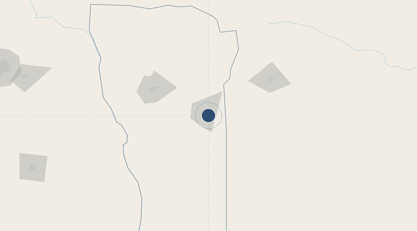
-33.7299°, -65.3874°
7,874 ft
Longest runway
2
Runways
1,591 ft
Elevation
Runway & Layout

Radio Frequencies
TWR
119.3 MHz
REYNOLDS TWR
RDO
122.1 MHz
REYNOLDS RDO
Navaids
RYD VOR-DME Villa Reynolds 115.70 MHz
RYD NDB Villa Reynolds 335 kHz
Runways · 2
| Runway | Dimensions | Surface | True heading | Lit |
|---|---|---|---|---|
| 10/28 | 7,874 × 148ft | Asphalt | 101° | ✓ |
| 6/24 | 7,874 × 164ft | Asphalt | 058° | ✓ |
Airport Specifications
IATA code
VME
ICAO code
SAOR
Airport class
Medium airport
Scheduled service
No
Runway surface
Asphalt
Served city
Villa Mercedes
Location
Nearby Logistics Neighbours
Airports
Cities
- 1Villa Mercedes10 km
- 2La Toma79 km
- 3La Paz202 km
- 4Río Tercero210 km
- 5Ticino214 km
Ports
- 1San Lorenzo446 km
- 2Puerto San Martin447 km
- 3Rosario450 km
- 4Villa Constitucion472 km
- 5Diamante479 km
Trade Zones
- 1Zona Franca de San Luis22 km
- 2Justo Daract Free Trade Zone22 km
- 3General Pico Free Zone262 km
- 4Córdoba Free Trade Zone294 km
- 5Zona Franca Mendoza Free Trade Zone341 km
DatabookThe Record of Consolidated Knowledge
Argentina beyond logistics?