Transport Functions
Multimodal
Hub Profile
Place type
Urban district
Region
Buenos Aires F.D.
Time zone
America/Argentina/Buenos_Aires
Elevation
19 m
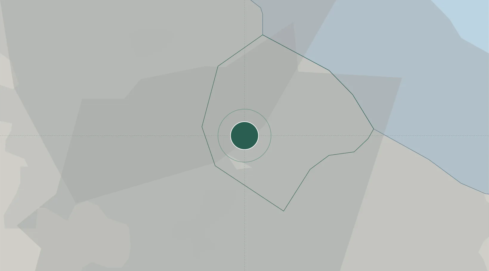
Location
Nearby Logistics Neighbours
Cities
- 1San Justo5 km
- 2Caseros6 km
- 3Pablo Podestá8 km
- 4Lanús10 km
- 5Villa Bosch11 km
Ports
- 1Buenos Aires14 km
- 2La Plata59 km
- 3Colonia64 km
- 4Campana72 km
- 5Zarate81 km
Airports
Trade Zones
- 1Zona Sur Buenos Aires3 km
- 2La Plata Free Trade Zone58 km
- 3Montes de Plata Free Zone64 km
- 4Colonia Free Zone65 km
- 5Nueva Palmira Free Zone87 km
DatabookThe Record of Consolidated Knowledge
Argentina beyond logistics?