Diversified Zone · Afghanistan

Nangarhar Special Economic Zone Under Development
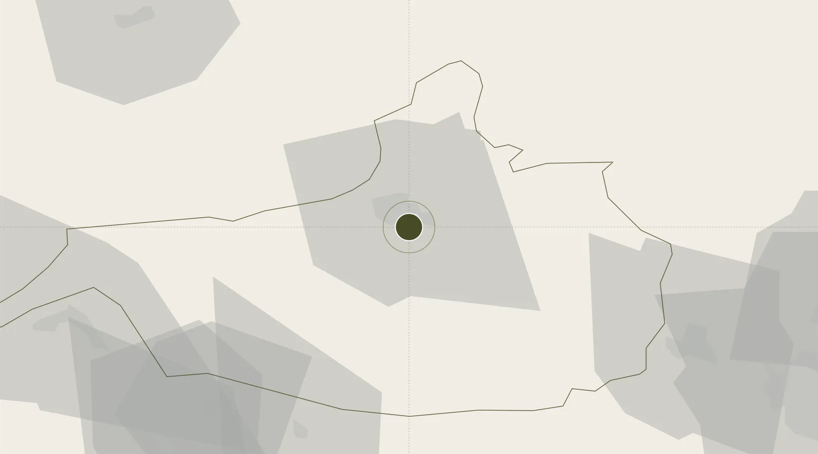
34.3978°, 70.4900°
1,113.0 km
Nearest port
0.8 km
Nearest airport

Gateway access

Nearest neighbours — logibook spatial index (haversine) over the source coordinates

Zone profile

Zone type
Diversified Zone
Open Zone Map
Region
Nangarhar
Open Zone Map
Status
Under Development
Open Zone Map
Management
Public
Open Zone Map
Operator
Afghanistan Airfield Economic Development Commission (AAEDC)
Open Zone Map
Legal framework
Presidential Decree # July 2015, Afghanistan Customs Law 2005.
Open Zone Map

Location

Location of ozm-8
Natural Earth 10m (public domain) · Nangarhar · ozm-8 · 34.40, 70.49GoogleOSMYandex

Nearby Logistics Neighbours

Ports
  1. 1Muhamamad Bin Qasim1113 km
  2. 2Karachi1121 km
  3. 3Kandla1264 km
  4. 4Navlakhi1272 km
  5. 5Mandvi1291 km
Nearest neighbours — logibook spatial index (haversine) over the source coordinates
Airports
  1. 1Jalalabad Airport1 km
  2. 2Bacha Khan International Airport104 km
  3. 3Kabul International Airport119 km
  4. 4Bagram Airfield128 km
  5. 5Salerno South Airport128 km
Nearest neighbours — logibook spatial index (haversine) over the source coordinates
Cities
  1. 1Hayatabad111 km
  2. 2Qasim119 km
  3. 3Torkham141 km
  4. 4Sharona166 km
  5. 5Garhi Habibullah Khan266 km
Nearest neighbours — logibook spatial index (haversine) over the source coordinates
Trade Zones
  1. 1Jalalabad Special Economic Zone0 km
  2. 2Mohmand Marble City87 km
  3. 3Kabul Special Economic Zone119 km
  4. 4Bagram Special Economic Zone128 km
  5. 5Risalpur Export Processing Zone142 km
Nearest neighbours — logibook spatial index (haversine) over the source coordinates
DatabookThe Record of Consolidated Knowledge
Afghanistan beyond logistics?
Browse databook

All Sources

Trade ZonesOpen Zone Map
CC BY
Portsthe NGA World Port Index
Public domain (US gov)
AirportsOurAirports
Public domain
LocationsUN/LOCODE
UN/LOCODE — free
← Afghanistan trade zones