Transport Functions
Port
Hub Profile
Region
AZ
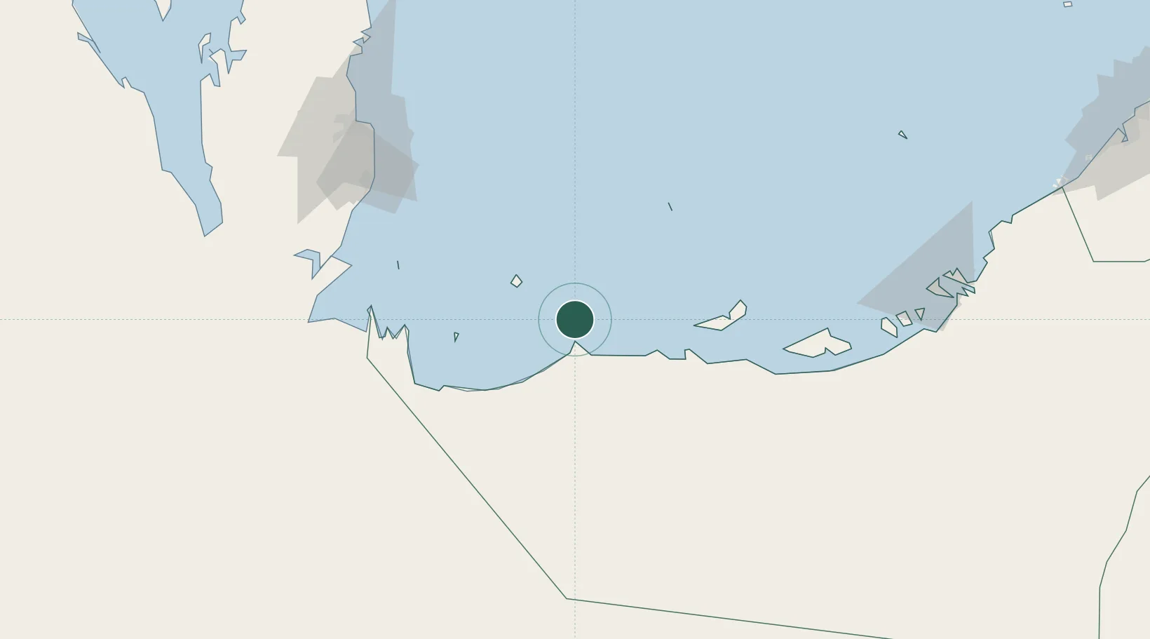
Location
Nearby Logistics Neighbours
Cities
- 1Ar Ruways26 km
- 2Ruwais Port27 km
- 3Mubarras Island78 km
- 4Zirku Island79 km
- 5Qchem123 km
Ports
- 1Jabal Az Zannah/ruways17 km
- 2Zirkuh Oil Field76 km
- 3Mubarraz Oil Terminal94 km
- 4Jazirat Das97 km
- 5Umm Said124 km
Airports
- 1Sir Bani Yas Airport4 km
- 2Delma Airport34 km
- 3Batha Airport117 km
- 4Hamad International Airport146 km
- 5Doha International Airport148 km
Trade Zones
- 1Umm Alhoul - Port Free Zone135 km
- 2Ras Bufontas - Airport Free Zone144 km
- 3Qatar Media City153 km
- 4Qatar Financial Centre156 km
- 5Qatar Science and Technology Park163 km
DatabookThe Record of Consolidated Knowledge
United Arab Emirates beyond logistics?