UN/LOCODE hub · United Arab Emirates
AERUW
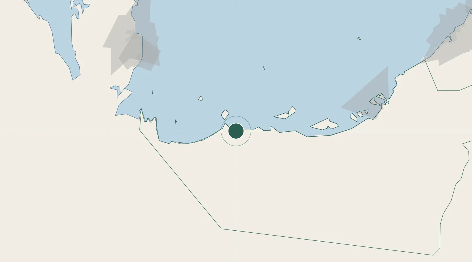
Ar Ruways
24.1167°, 52.7333°
25,000
Population
1
Transport functions
Transport Functions
Port
Hub Profile
Place type
Populated place
Region
Abu Dhabi
Population
25,000
Time zone
Asia/Dubai
Elevation
16 m
Location
Nearby Logistics Neighbours
Cities
- 1Ruwais Port3 km
- 2Yas Island26 km
- 3Mubarras Island79 km
- 4Zirku Island92 km
- 5Qchem146 km
Ports
- 1Jabal Az Zannah/ruways10 km
- 2Mubarraz Oil Terminal87 km
- 3Zirkuh Oil Field89 km
- 4Jazirat Das116 km
- 5Umm Said148 km
Airports
- 1Sir Bani Yas Airport24 km
- 2Delma Airport60 km
- 3Batha Airport131 km
- 4Hamad International Airport172 km
- 5Doha International Airport173 km
Trade Zones
DatabookThe Record of Consolidated Knowledge
United Arab Emirates beyond logistics?