Transport Functions
Port
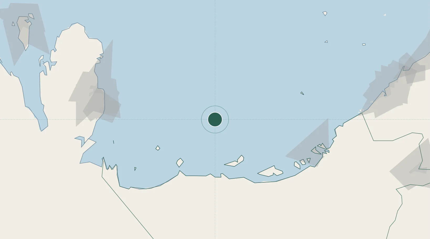
Hub Profile
Region
AZ
Location
Nearby Logistics Neighbours
Cities
- 1Mubarras Island42 km
- 2Abu al Bukhoosh67 km
- 3Mirfa77 km
- 4Yas Island79 km
- 5Ar Ruways92 km
Ports
- 1Jazirat Das36 km
- 2Mubarraz Oil Terminal68 km
- 3Jabal Az Zannah/ruways85 km
- 4Jazirat Halul110 km
- 5Abu Zaby135 km
Airports
- 1Sir Bani Yas Airport83 km
- 2Delma Airport85 km
- 3Al Bateen Executive Airport150 km
- 4Hamad International Airport153 km
- 5Sas Al Nakheel Air Base155 km
Trade Zones
DatabookThe Record of Consolidated Knowledge
United Arab Emirates beyond logistics?