UN/LOCODE hub · United Arab Emirates
AERWP

Ruwais Port

24.1000°, 52.7167°
1
Transport functions

Transport Functions

Port
UN/LOCODE

Hub Profile

Region
AZ
GeoNames

Location

Location of AERWP
Natural Earth 10m (public domain) · AZ · AERWP · 24.10, 52.72GoogleOSMYandex

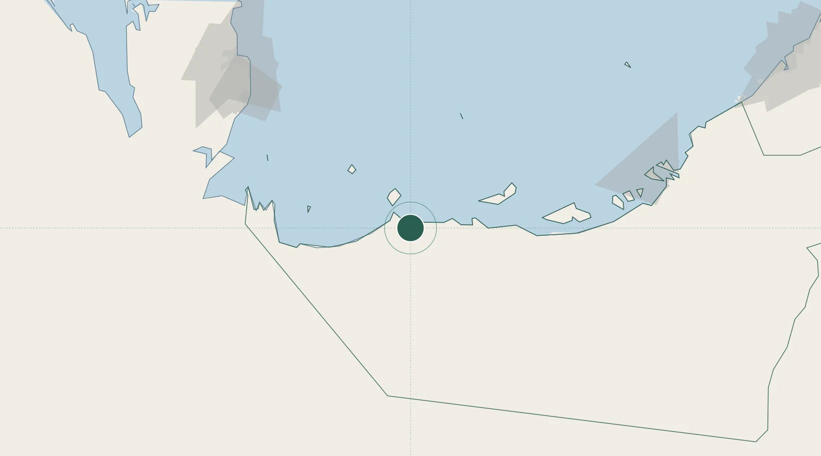
Nearby Logistics Neighbours

Cities
  1. 1Ar Ruways3 km
  2. 2Yas Island27 km
  3. 3Mubarras Island81 km
  4. 4Zirku Island94 km
  5. 5Qchem146 km
Nearest neighbours — logibook spatial index (haversine) over the source coordinates
Ports
  1. 1Jabal Az Zannah/ruways11 km
  2. 2Mubarraz Oil Terminal89 km
  3. 3Zirkuh Oil Field92 km
  4. 4Jazirat Das118 km
  5. 5Umm Said148 km
Nearest neighbours — logibook spatial index (haversine) over the source coordinates
Airports
  1. 1Sir Bani Yas Airport25 km
  2. 2Delma Airport60 km
  3. 3Batha Airport129 km
  4. 4Hamad International Airport172 km
  5. 5Doha International Airport174 km
Nearest neighbours — logibook spatial index (haversine) over the source coordinates
Trade Zones
  1. 1Umm Alhoul - Port Free Zone160 km
  2. 2Abu Dhabi Construction City Building Material City167 km
  3. 3Ras Bufontas - Airport Free Zone169 km
  4. 4Abu Dhabi Global Markets (ADGM)175 km
  5. 5Qatar Media City179 km
Nearest neighbours — logibook spatial index (haversine) over the source coordinates
DatabookThe Record of Consolidated Knowledge
United Arab Emirates beyond logistics?
Browse databook

All Sources

LocationsUN/LOCODE
UN/LOCODE — free
Portsthe NGA World Port Index
Public domain (US gov)
AirportsOurAirports
Public domain
Trade Zonesthe World Bank SEZ database
CC BY 4.0
Trade ZonesOpen Zone Map
CC BY
← United Arab Emirates locations