Transport Functions
Port
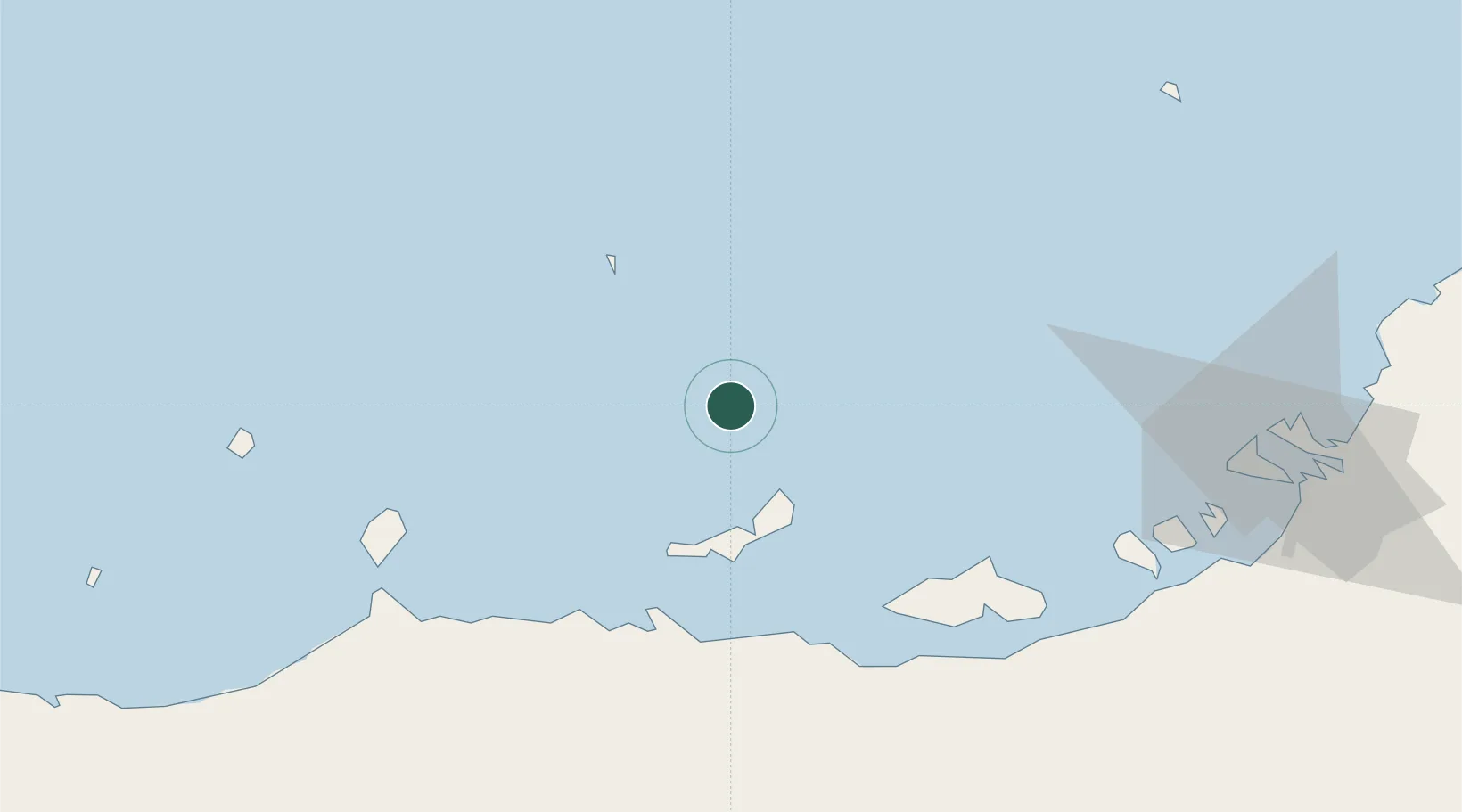
Location
Nearby Logistics Neighbours
Cities
- 1Zirku Island42 km
- 2Yas Island78 km
- 3Ar Ruways79 km
- 4Ruwais Port81 km
- 5Mirfa100 km
Ports
- 1Zirkuh Oil Field41 km
- 2Jabal Az Zannah/ruways76 km
- 3Jazirat Das78 km
- 4Abu Zaby103 km
- 5Umm An Nar119 km
Airports
- 1Sir Bani Yas Airport82 km
- 2Delma Airport100 km
- 3Al Bateen Executive Airport117 km
- 4Sas Al Nakheel Air Base123 km
- 5Al Dhafra Air Base130 km
Trade Zones
DatabookThe Record of Consolidated Knowledge
United Arab Emirates beyond logistics?