UN/LOCODE hub · United Arab Emirates
AEQIW
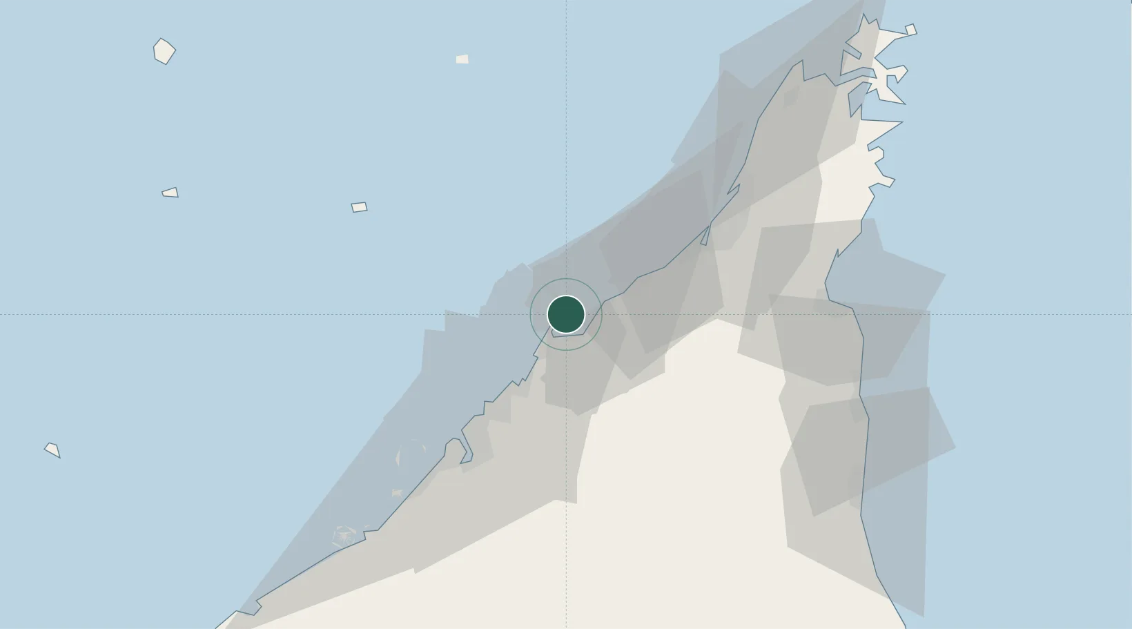
Umm al Quwain
25.5891°, 55.5814°
2
Transport functions
1
Container terminals
Transport Functions
Port
Airport
Hub Profile
Logistics facilities
2
Container terminals
1
Location
Nearby Logistics Neighbours
Cities
- 1Ahmed Bin Rashid Port7 km
- 2Ajman23 km
- 3Al Jazeera Port26 km
- 4Saif Zone30 km
- 5Sharjah34 km
Ports
- 1Al Hamriyah Lpg Terminal17 km
- 2Ajman24 km
- 3Al Jazeera Port25 km
- 4Ash Shariqah32 km
- 5Dubayy46 km
Airports
Trade Zones
DatabookThe Record of Consolidated Knowledge
United Arab Emirates beyond logistics?