UN/LOCODE hub · United Arab Emirates
AEJAZ

Al Jazeera Port

25.7167°, 55.8000°
1
Transport functions

Transport Functions

Port
Al Jazeera Port is also a profiled seaport →
UN/LOCODE

Hub Profile

Region
RK
GeoNames

Location

Location of AEJAZ
Natural Earth 10m (public domain) · RK · AEJAZ · 25.72, 55.80GoogleOSMYandex

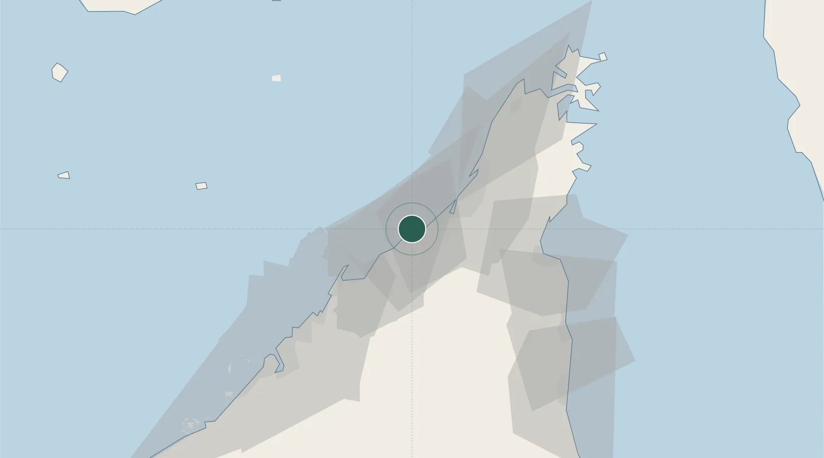
Nearby Logistics Neighbours

Cities
  1. 1Rak Khor Port19 km
  2. 2Umm al Quwain26 km
  3. 3Ahmed Bin Rashid Port32 km
  4. 4Hulaylah Terminal33 km
  5. 5Rak Maritime City36 km
Nearest neighbours — logibook spatial index (haversine) over the source coordinates
Ports
  1. 1Umm Al Qaywayn26 km
  2. 2Hulaylah Oil Terminal33 km
  3. 3Mina Saqr39 km
  4. 4Al Hamriyah Lpg Terminal42 km
  5. 5Ajman50 km
Nearest neighbours — logibook spatial index (haversine) over the source coordinates
Airports
  1. 1Ras Al Khaimah International Airport18 km
  2. 2Sharjah International Airport52 km
  3. 3Khasab Airport67 km
  4. 4Dubai International Airport67 km
  5. 5Abu Musa Island Airport79 km
Nearest neighbours — logibook spatial index (haversine) over the source coordinates
Trade Zones
  1. 1RAKEZ Al Hamra Industrial Zone4 km
  2. 2Ras Al Khaimah Technology Park6 km
  3. 3Ras Al Khaimah Media Free Zone and Film City (RAKMFZ)6 km
  4. 4RAKEZ Academic Zone11 km
  5. 5Umm Al Quwain Free Trade Zone36 km
Nearest neighbours — logibook spatial index (haversine) over the source coordinates
DatabookThe Record of Consolidated Knowledge
United Arab Emirates beyond logistics?
Browse databook

All Sources

LocationsUN/LOCODE
UN/LOCODE — free
Portsthe NGA World Port Index
Public domain (US gov)
AirportsOurAirports
Public domain
Trade Zonesthe World Bank SEZ database
CC BY 4.0
Trade ZonesOpen Zone Map
CC BY
← United Arab Emirates locations