UN/LOCODE hub · United Arab Emirates
AEAJM
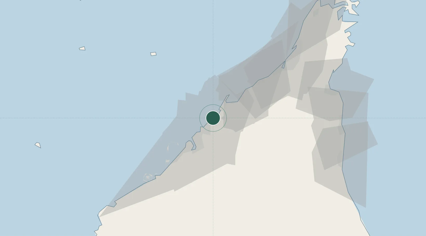
Ajman
25.4208°, 55.4534°
490,035
Population
2
Transport functions
1
Container terminals
Transport Functions
Port
Road
Hub Profile
Place type
Regional capital
Region
Ajman
Population
490,035
Time zone
Asia/Dubai
Elevation
2 m
Logistics facilities
2
Container terminals
1
Location
Nearby Logistics Neighbours
Cities
- 1Saif Zone10 km
- 2Sharjah11 km
- 3Mina Khalid12 km
- 4Ahmed Bin Rashid Port16 km
- 5Ras Al Khor19 km
Ports
- 1Al Hamriyah Lpg Terminal6 km
- 2Ash Shariqah9 km
- 3Umm Al Qaywayn22 km
- 4Dubayy23 km
- 5Al Jazeera Port47 km
Airports
Trade Zones
DatabookThe Record of Consolidated Knowledge
United Arab Emirates beyond logistics?