UN/LOCODE hub · United Arab Emirates
AEARP

Ahmed Bin Rashid Port

25.5333°, 55.5500°
1
Transport functions

Transport Functions

Port
UN/LOCODE

Hub Profile

Region
AZ
GeoNames

Location

Location of AEARP
Natural Earth 10m (public domain) · AZ · AEARP · 25.53, 55.55GoogleOSMYandex

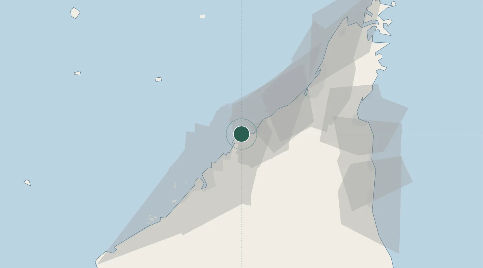
Nearby Logistics Neighbours

Cities
  1. 1Umm al Quwain7 km
  2. 2Ajman16 km
  3. 3Saif Zone23 km
  4. 4Sharjah27 km
  5. 5Mina Khalid28 km
Nearest neighbours — logibook spatial index (haversine) over the source coordinates
Ports
  1. 1Umm Al Qaywayn7 km
  2. 2Al Hamriyah Lpg Terminal10 km
  3. 3Ajman18 km
  4. 4Ash Shariqah25 km
  5. 5Al Jazeera Port31 km
Nearest neighbours — logibook spatial index (haversine) over the source coordinates
Airports
  1. 1Sharjah International Airport23 km
  2. 2Dubai International Airport36 km
  3. 3Ras Al Khaimah International Airport40 km
  4. 4Al Minhad Air Base59 km
  5. 5Abu Musa Island Airport64 km
Nearest neighbours — logibook spatial index (haversine) over the source coordinates
Trade Zones
  1. 1Umm Al Quwain Free Trade Zone4 km
  2. 2Hamriyah Free Zone10 km
  3. 3Ajman Media City Free Zone14 km
  4. 4Ajman Free Zone16 km
  5. 5Sharjah Airport International Free Zone23 km
Nearest neighbours — logibook spatial index (haversine) over the source coordinates
DatabookThe Record of Consolidated Knowledge
United Arab Emirates beyond logistics?
Browse databook

All Sources

LocationsUN/LOCODE
UN/LOCODE — free
Portsthe NGA World Port Index
Public domain (US gov)
AirportsOurAirports
Public domain
Trade Zonesthe World Bank SEZ database
CC BY 4.0
Trade ZonesOpen Zone Map
CC BY
← United Arab Emirates locations