UN/LOCODE hub · United Arab Emirates
AEVHT

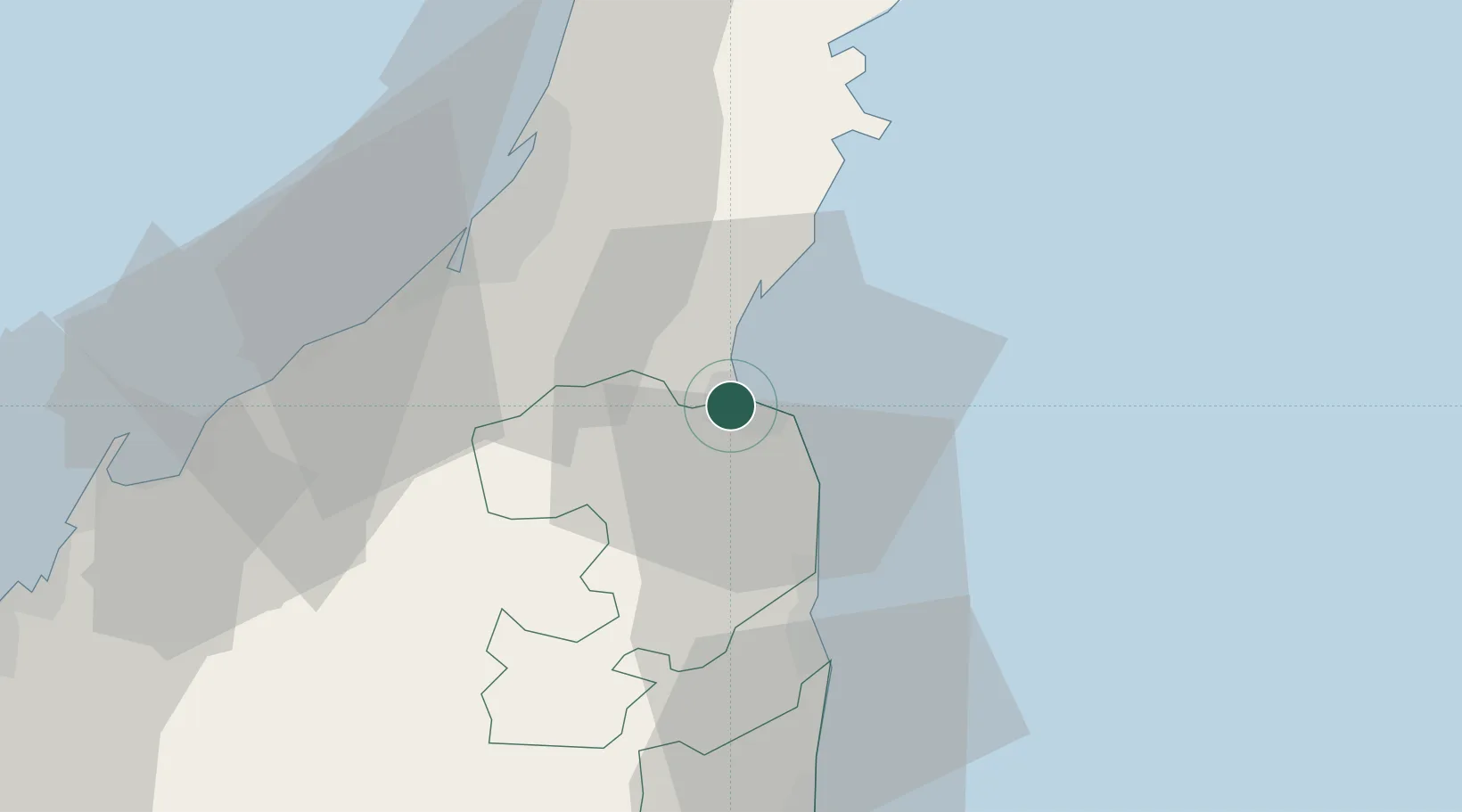
Vopak Horizion Terminal

25.6167°, 56.2667°
1
Transport functions

Transport Functions

Multimodal
UN/LOCODE

Hub Profile

Region
RK
GeoNames

Location

Location of AEVHT
Natural Earth 10m (public domain) · RK · AEVHT · 25.62, 56.27GoogleOSMYandex

Nearby Logistics Neighbours

Cities
  1. 1Dibba0 km
  2. 2Khor al Fakkan30 km
  3. 3Rak Khor Port39 km
  4. 4Rak Maritime City43 km
  5. 5Mina Saqr44 km
Nearest neighbours — logibook spatial index (haversine) over the source coordinates
Ports
  1. 1Khawr Fakkan30 km
  2. 2Mina Saqr46 km
  3. 3Al Jazeera Port50 km
  4. 4Hulaylah Oil Terminal53 km
  5. 5Khawr Khasab67 km
Nearest neighbours — logibook spatial index (haversine) over the source coordinates
Airports
  1. 1Ras Al Khaimah International Airport33 km
  2. 2Fujairah International Airport57 km
  3. 3Khasab Airport62 km
  4. 4Sharjah International Airport82 km
  5. 5Dubai International Airport99 km
Nearest neighbours — logibook spatial index (haversine) over the source coordinates
Trade Zones
  1. 1RAKEZ Al Ghail Industrial Zone38 km
  2. 2RAKEZ Academic Zone39 km
  3. 3RAK Maritime City Free Zone42 km
  4. 4RAKEZ Al Hamra Industrial Zone48 km
  5. 5Ras Al Khaimah Media Free Zone and Film City (RAKMFZ)49 km
Nearest neighbours — logibook spatial index (haversine) over the source coordinates
DatabookThe Record of Consolidated Knowledge
United Arab Emirates beyond logistics?
Browse databook

All Sources

LocationsUN/LOCODE
UN/LOCODE — free
Portsthe NGA World Port Index
Public domain (US gov)
AirportsOurAirports
Public domain
Trade Zonesthe World Bank SEZ database
CC BY 4.0
Trade ZonesOpen Zone Map
CC BY
← United Arab Emirates locations