Large airport · China

Kashgar Laining International AirportZWSH
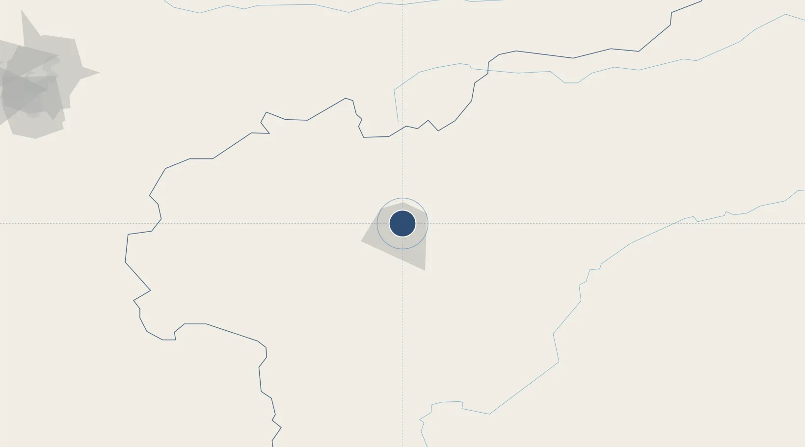
39.5423°, 76.0202°
10,499 ft
Longest runway
1
Runways
4,529 ft
Elevation

Runway & Layout

Kashgar Laining International Airport runway & taxiway layout
Runway & taxiway layout — OpenStreetMap (ODbL) / OurAirports

Radio Frequencies

TWR
118.5 MHz
OurAirports

Navaids

KHG VOR-DME Kashi 115.70 MHz
OurAirports

Runways · 1

RunwayDimensions SurfaceTrue headingLit
08/26 10,499 × 135ft Concrete 086°
OurAirports

Airport Specifications

IATA code
KHG
OurAirports
ICAO code
ZWSH
OurAirports
Airport class
Large airport
OurAirports
Scheduled service
Yes
OurAirports
Runway surface
Concrete
OurAirports
Served city
Kashgar
OurAirports

Location

Location of ZWSH
Natural Earth 10m (public domain) · Xinjiang · ZWSH · 39.54, 76.02GoogleOSMYandex

Nearby Logistics Neighbours

Airports
  1. 1Shache Airport170 km
  2. 2Naryn Airport211 km
  3. 3Tashikuergan Hongqilafu Airport219 km
  4. 4Kazarman Airport267 km
  5. 5Tumxuk Tangwangcheng Airport278 km
Nearest neighbours — logibook spatial index (haversine) over the source coordinates
Cities
  1. 1Bay Head178 km
  2. 2Wysox249 km
  3. 3Cos Cob264 km
  4. 4Osh295 km
  5. 5Asaka344 km
Nearest neighbours — logibook spatial index (haversine) over the source coordinates
Ports
  1. 1Muhamamad Bin Qasim1832 km
  2. 2Karachi1846 km
  3. 3Kandla1916 km
  4. 4Navlakhi1918 km
  5. 5Mandvi1962 km
Nearest neighbours — logibook spatial index (haversine) over the source coordinates
Trade Zones
  1. 1Atushi Industrial Park14 km
  2. 2Corps Caohu Industrial Park30 km
  3. 3Akto Jiangxi Industrial Park63 km
  4. 4Yuepu Lake Taiyue Industrial Park73 km
  5. 5Naryn Special Economic Zone210 km
Nearest neighbours — logibook spatial index (haversine) over the source coordinates
DatabookThe Record of Consolidated Knowledge
China beyond logistics?
Browse databook

All Sources

AirportsOurAirports
Public domain
Portsthe NGA World Port Index
Public domain (US gov)
LocationsUN/LOCODE
UN/LOCODE — free
Trade Zonesthe World Bank SEZ database
CC BY 4.0
Trade ZonesOpen Zone Map
CC BY
InfrastructureOpenStreetMap
ODbL 1.0
← China airports