Medium airport · China

Tashikuergan Hongqilafu AirportCN-0237
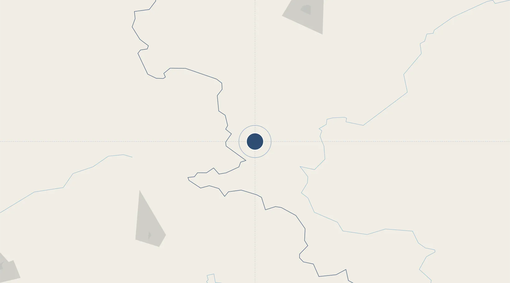
37.6613°, 75.2889°
12,467 ft
Longest runway
1
Runways
10,499 ft
Elevation

Runway & Layout

Tashikuergan Hongqilafu Airport runway & taxiway layout
Runway & taxiway layout — OpenStreetMap (ODbL) / OurAirports

Runways · 1

RunwayDimensions SurfaceTrue headingLit
12,467 × 148ft
OurAirports

Airport Specifications

IATA code
HQL
OurAirports
ICAO code
ZWTK
OurAirports
Airport class
Medium airport
OurAirports
Scheduled service
Yes
OurAirports
Served city
Tashikuergan
OurAirports

Location

Location of CN-0237
Natural Earth 10m (public domain) · Xinjiang · CN-0237 · 37.66, 75.29GoogleOSMYandex

Nearby Logistics Neighbours

Airports
  1. 1Shache Airport168 km
  2. 2Gilgit Airport212 km
  3. 3Kashgar Laining International Airport219 km
  4. 4Skardu International Airport259 km
  5. 5Chitral Airport368 km
Nearest neighbours — logibook spatial index (haversine) over the source coordinates
Cities
  1. 1Bay Head288 km
  2. 2Osh385 km
  3. 3Garhi Habibullah Khan401 km
  4. 4Cos Cob402 km
  5. 5Asaka423 km
Nearest neighbours — logibook spatial index (haversine) over the source coordinates
Ports
  1. 1Muhamamad Bin Qasim1619 km
  2. 2Karachi1634 km
  3. 3Kandla1697 km
  4. 4Navlakhi1699 km
  5. 5Mandvi1744 km
Nearest neighbours — logibook spatial index (haversine) over the source coordinates
Trade Zones
  1. 1Akto Jiangxi Industrial Park161 km
  2. 2Corps Caohu Industrial Park189 km
  3. 3Yuepu Lake Taiyue Industrial Park220 km
  4. 4Atushi Industrial Park229 km
  5. 5Pishan Three Gorges Industrial Park264 km
Nearest neighbours — logibook spatial index (haversine) over the source coordinates
DatabookThe Record of Consolidated Knowledge
China beyond logistics?
Browse databook

All Sources

AirportsOurAirports
Public domain
Portsthe NGA World Port Index
Public domain (US gov)
LocationsUN/LOCODE
UN/LOCODE — free
Trade Zonesthe World Bank SEZ database
CC BY 4.0
Trade ZonesOpen Zone Map
CC BY
InfrastructureOpenStreetMap
ODbL 1.0
← China airports