Runway & Layout

Runways · 1
| Runway | Dimensions | Surface | True heading | Lit |
|---|---|---|---|---|
| 13/31 | 8,530 × —ft | — | — | ✓ |
Airport Specifications
IATA code
KRY
ICAO code
ZWKM
Airport class
Small airport
Scheduled service
Yes
Served city
Karamay
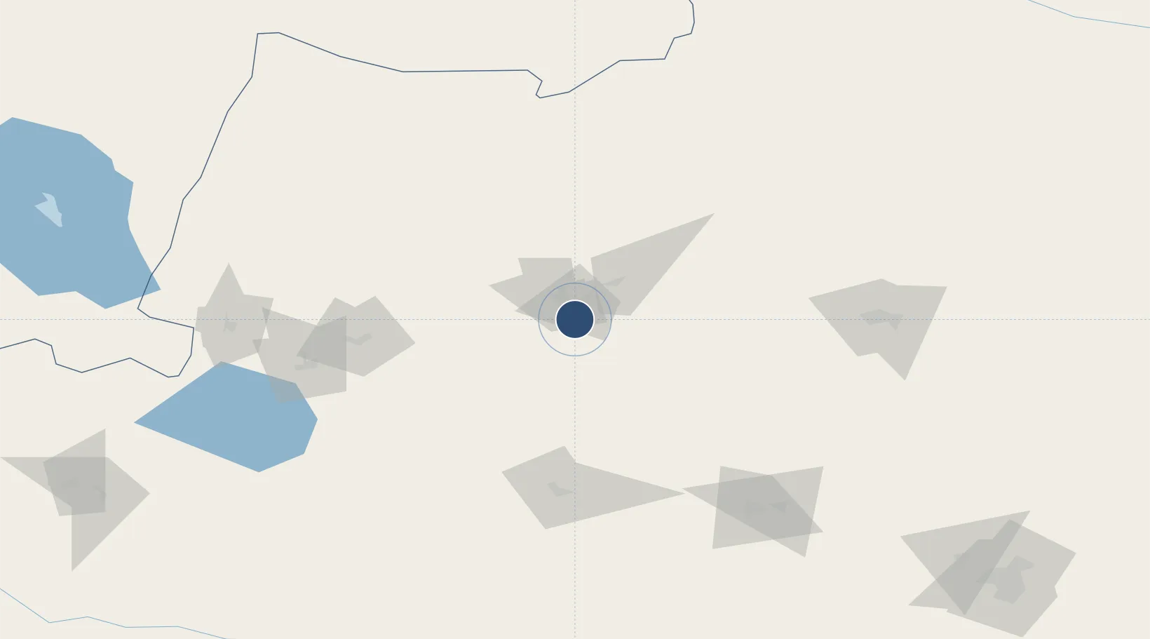
Location
Nearby Logistics Neighbours
Airports
- 1Shihezi Huayuan Airport155 km
- 2Tacheng Qianquan Airport183 km
- 3Bole Alashankou Airport217 km
- 4Zaysan Airport225 km
- 5Ürümqi Changji Air Base238 km
Cities
- 1Dushanzi126 km
- 2Manas164 km
- 3Alashankou186 km
- 4Dosytk194 km
- 5Alatawshankou200 km
Ports
- 1Igarka2447 km
- 2Calcutta2567 km
- 3Mongla2592 km
- 4Haldia Port2623 km
- 5Chittagong2649 km
DatabookThe Record of Consolidated Knowledge
China beyond logistics?