Small airport · China

Chongqing Wushan AirportZUWS
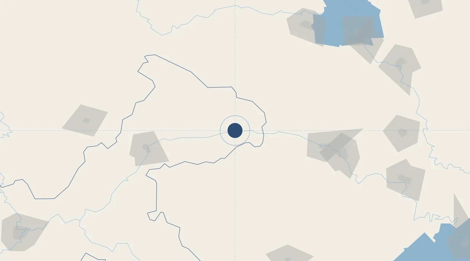
31.0690°, 109.7090°
8,530 ft
Longest runway
1
Runways

Runway & Layout

Chongqing Wushan Airport runway & taxiway layout
Runway & taxiway layout — OpenStreetMap (ODbL) / OurAirports

Runways · 1

RunwayDimensions SurfaceTrue headingLit
06/24 8,530 × —ft
OurAirports

Airport Specifications

IATA code
WSK
OurAirports
ICAO code
ZUWS
OurAirports
Airport class
Small airport
OurAirports
Scheduled service
Yes
OurAirports
Served city
Wushan
OurAirports

Location

Location of ZUWS
Natural Earth 10m (public domain) · Chongqing · ZUWS · 31.07, 109.71GoogleOSMYandex

Nearby Logistics Neighbours

Airports
  1. 1Enshi Xujiaping Airport86 km
  2. 2Shennongjia Hongping Airport86 km
  3. 3Wanzhou Wuqiao Airport125 km
  4. 4Yichang Sanxia Airport179 km
  5. 5Qianjiang Wulingshan Airport192 km
Nearest neighbours — logibook spatial index (haversine) over the source coordinates
Cities
  1. 1Badong64 km
  2. 2Enshi90 km
  3. 3Baiyang187 km
  4. 4Shiyan205 km
  5. 5Zhangjiajie230 km
Nearest neighbours — logibook spatial index (haversine) over the source coordinates
Ports
  1. 1Hankow440 km
  2. 2Nanjing864 km
  3. 3Zhenjiang929 km
  4. 4Yangzhou930 km
  5. 5Guangzhou950 km
Nearest neighbours — logibook spatial index (haversine) over the source coordinates
Trade Zones
  1. 1Fengjie Industrial Park7 km
  2. 2Wuxi Industrial Park41 km
  3. 3Yunyang Industrial Park93 km
  4. 4Panshui Ecological Industrial Park114 km
  5. 5Xuanen Industrial Park118 km
Nearest neighbours — logibook spatial index (haversine) over the source coordinates
DatabookThe Record of Consolidated Knowledge
China beyond logistics?
Browse databook

All Sources

AirportsOurAirports
Public domain
Portsthe NGA World Port Index
Public domain (US gov)
LocationsUN/LOCODE
UN/LOCODE — free
Trade Zonesthe World Bank SEZ database
CC BY 4.0
Trade ZonesOpen Zone Map
CC BY
InfrastructureOpenStreetMap
ODbL 1.0
← China airports