Transport Functions
Port
Hub Profile
Place type
Populated place
Region
Chongqing
Time zone
Asia/Shanghai
Elevation
707 m
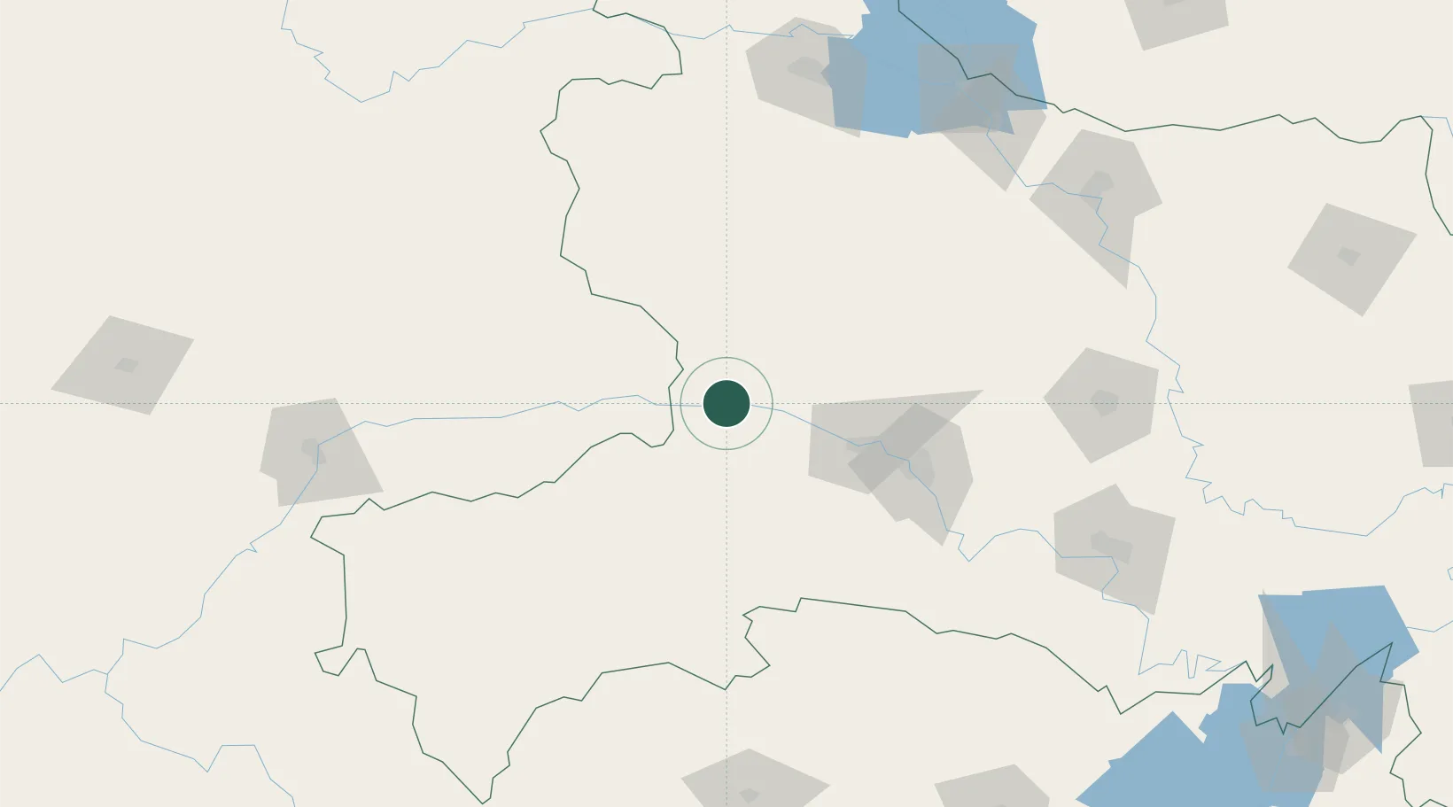
Location
Nearby Logistics Neighbours
Cities
- 1Enshi120 km
- 2Baiyang127 km
- 3Shiyan186 km
- 4Jingzhou Pt198 km
- 5Xiangfan200 km
Airports
- 1Chongqing Wushan Airport64 km
- 2Shennongjia Hongping Airport66 km
- 3Enshi Xujiaping Airport117 km
- 4Yichang Sanxia Airport118 km
- 5Dangyang Air Base139 km
Trade Zones
DatabookThe Record of Consolidated Knowledge
China beyond logistics?