Transport Functions
Rail
Road
Airport
Hub Profile
Place type
Provincial seat
Region
Hunan
Population
441,804
Time zone
Asia/Shanghai
Elevation
174 m
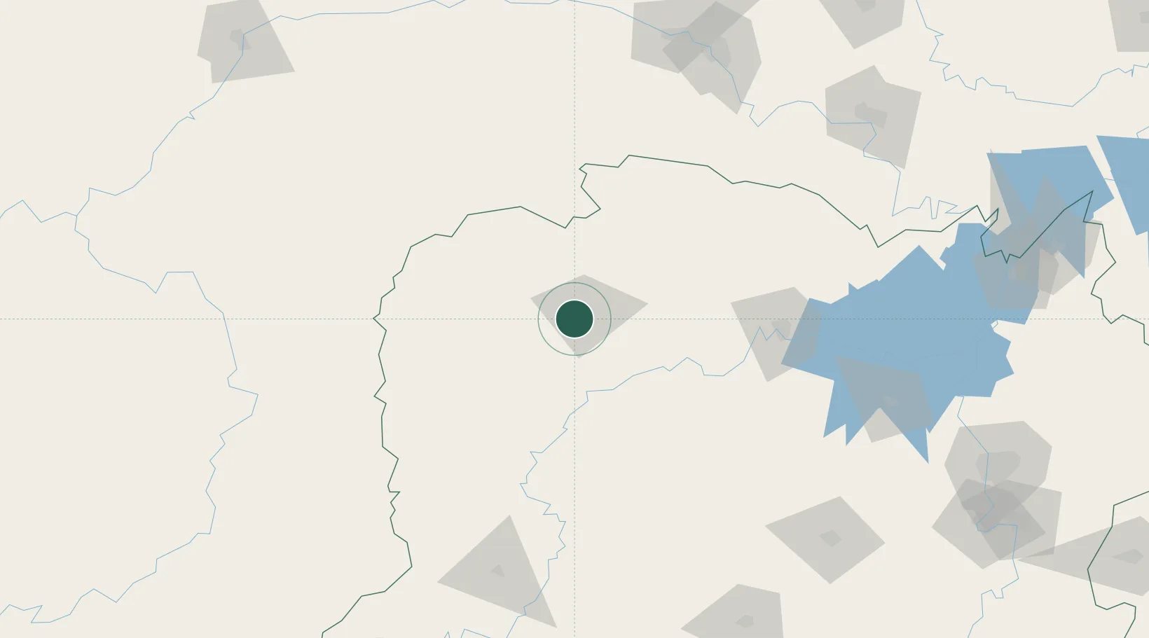
Location
Nearby Logistics Neighbours
Ports
- 1Hankow406 km
- 2Guangzhou722 km
- 3Huangpu732 km
- 4Huangpuxingang739 km
- 5Shekou814 km
Airports
DatabookThe Record of Consolidated Knowledge
China beyond logistics?