Medium airport · China

Shennongjia Hongping AirportZHSN
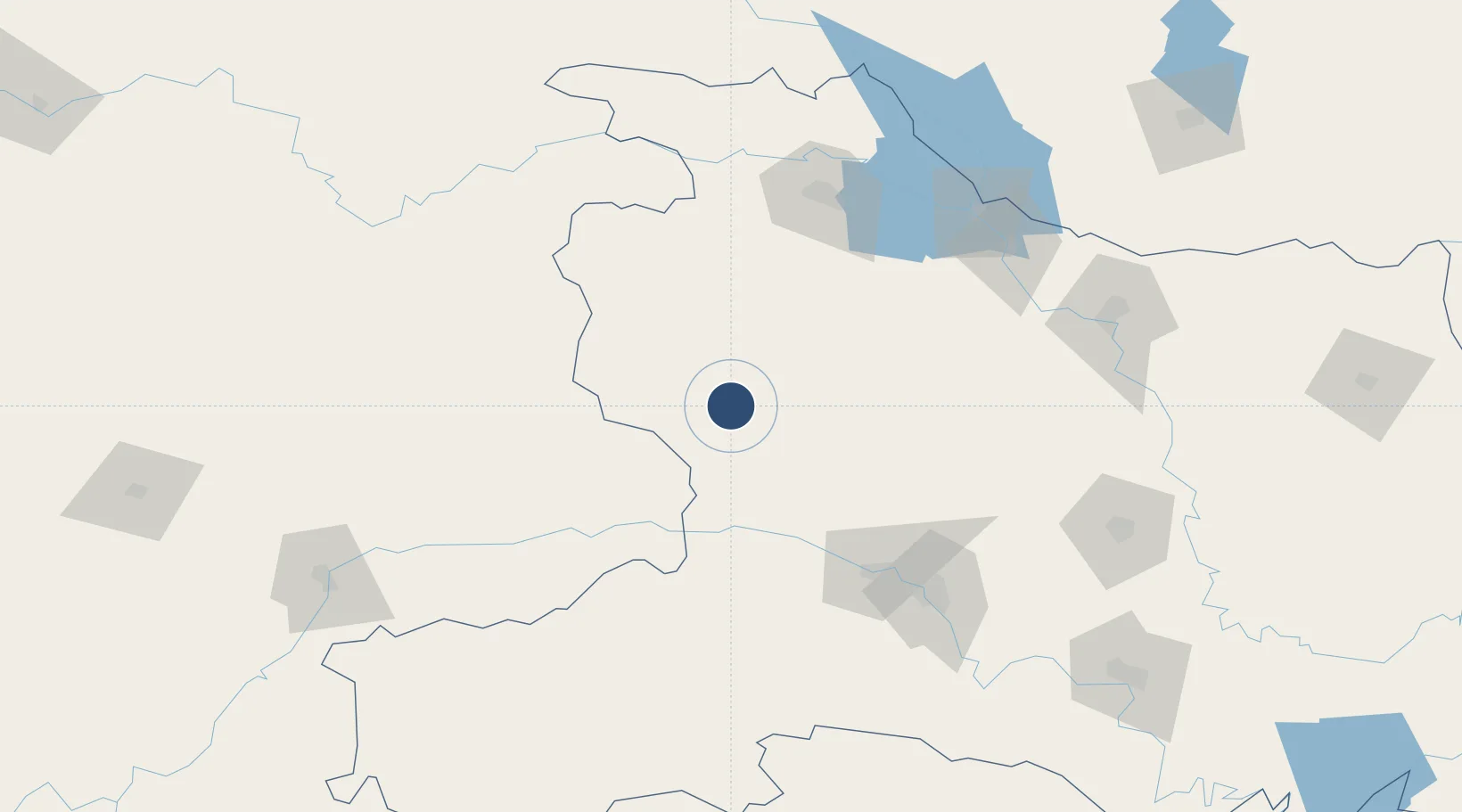
31.6260°, 110.3400°
9,186 ft
Longest runway
1
Runways
8,365 ft
Elevation

Runway & Layout

Shennongjia Hongping Airport runway & taxiway layout
Runway & taxiway layout — OpenStreetMap (ODbL) / OurAirports

Runways · 1

RunwayDimensions SurfaceTrue headingLit
17/35 9,186 × —ft
OurAirports

Airport Specifications

IATA code
HPG
OurAirports
ICAO code
ZHSN
OurAirports
Airport class
Medium airport
OurAirports
Scheduled service
Yes
OurAirports
Served city
Shennongjia (Hongping)
OurAirports

Location

Location of ZHSN
Natural Earth 10m (public domain) · Hubei · ZHSN · 31.63, 110.34GoogleOSMYandex

Nearby Logistics Neighbours

Airports
  1. 1Chongqing Wushan Airport86 km
  2. 2Shiyan Wudangshan Airport120 km
  3. 3Guangzhou MR Air Base / Guanghua Airport153 km
  4. 4Yichang Sanxia Airport161 km
  5. 5Enshi Xujiaping Airport167 km
Nearest neighbours — logibook spatial index (haversine) over the source coordinates
Cities
  1. 1Badong66 km
  2. 2Shiyan123 km
  3. 3Enshi170 km
  4. 4Baiyang174 km
  5. 5Xiangfan175 km
Nearest neighbours — logibook spatial index (haversine) over the source coordinates
Ports
  1. 1Hankow393 km
  2. 2Nanjing796 km
  3. 3Zhenjiang861 km
  4. 4Yangzhou861 km
  5. 5Gaogang900 km
Nearest neighbours — logibook spatial index (haversine) over the source coordinates
Trade Zones
  1. 1Panshui Ecological Industrial Park29 km
  2. 2Fangxian Industrial Park63 km
  3. 3Wuxi Industrial Park80 km
  4. 4Fengjie Industrial Park89 km
  5. 5Zhuxi Industrial Park97 km
Nearest neighbours — logibook spatial index (haversine) over the source coordinates
DatabookThe Record of Consolidated Knowledge
China beyond logistics?
Browse databook

All Sources

AirportsOurAirports
Public domain
Portsthe NGA World Port Index
Public domain (US gov)
LocationsUN/LOCODE
UN/LOCODE — free
Trade Zonesthe World Bank SEZ database
CC BY 4.0
Trade ZonesOpen Zone Map
CC BY
InfrastructureOpenStreetMap
ODbL 1.0
← China airports