Medium airport · China

Enshi Xujiaping AirportZHES
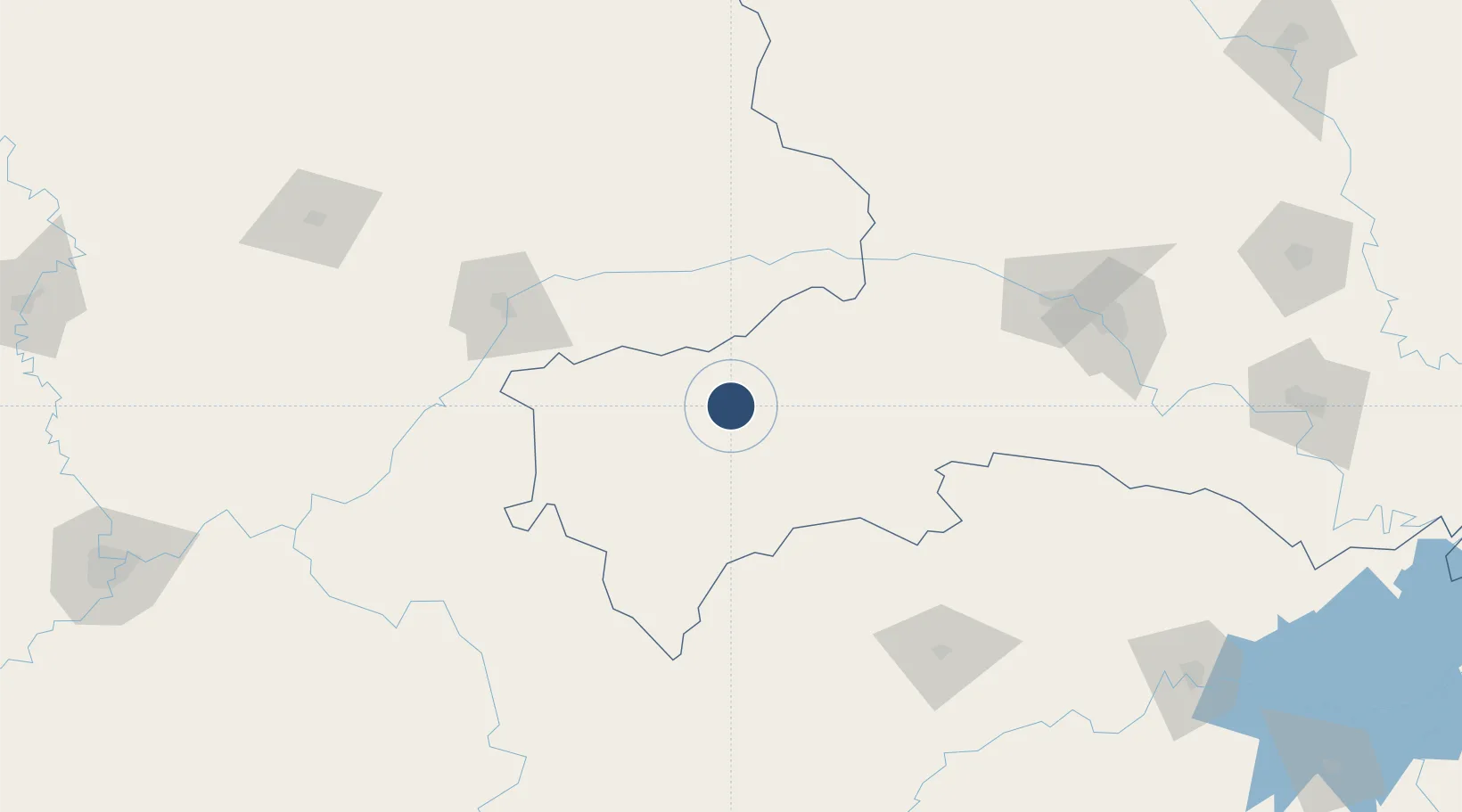
30.3203°, 109.4850°
6,890 ft
Longest runway
1
Runways
1,605 ft
Elevation

Runway & Layout

Enshi Xujiaping Airport runway & taxiway layout
Runway & taxiway layout — OpenStreetMap (ODbL) / OurAirports

Runways · 1

RunwayDimensions SurfaceTrue headingLit
01/19 6,890 × —ft Concrete
OurAirports

Airport Specifications

IATA code
ENH
OurAirports
ICAO code
ZHES
OurAirports
Airport class
Medium airport
OurAirports
Scheduled service
Yes
OurAirports
Runway surface
Concrete
OurAirports
Served city
Enshi (Enshi)
OurAirports

Location

Location of ZHES
Natural Earth 10m (public domain) · Hubei · ZHES · 30.32, 109.49GoogleOSMYandex

Nearby Logistics Neighbours

Airports
  1. 1Chongqing Wushan Airport86 km
  2. 2Qianjiang Wulingshan Airport110 km
  3. 3Wanzhou Wuqiao Airport114 km
  4. 4Zhangjiajie Hehua International Airport164 km
  5. 5Shennongjia Hongping Airport167 km
Nearest neighbours — logibook spatial index (haversine) over the source coordinates
Cities
  1. 1Enshi4 km
  2. 2Badong117 km
  3. 3Zhangjiajie164 km
  4. 4Baiyang195 km
  5. 5Fuling214 km
Nearest neighbours — logibook spatial index (haversine) over the source coordinates
Ports
  1. 1Hankow461 km
  2. 2Guangzhou883 km
  3. 3Huangpu894 km
  4. 4Huangpuxingang901 km
  5. 5Nanjing902 km
Nearest neighbours — logibook spatial index (haversine) over the source coordinates
Trade Zones
  1. 1Xuanen Industrial Park32 km
  2. 2Xianfeng Industrial Park73 km
  3. 3Fengjie Industrial Park87 km
  4. 4Laifeng Economic Development Zone91 km
  5. 5Yunyang Industrial Park98 km
Nearest neighbours — logibook spatial index (haversine) over the source coordinates
DatabookThe Record of Consolidated Knowledge
China beyond logistics?
Browse databook

All Sources

AirportsOurAirports
Public domain
Portsthe NGA World Port Index
Public domain (US gov)
LocationsUN/LOCODE
UN/LOCODE — free
Trade Zonesthe World Bank SEZ database
CC BY 4.0
Trade ZonesOpen Zone Map
CC BY
InfrastructureOpenStreetMap
ODbL 1.0
← China airports