Export Processing Zone · China

Xuanen Industrial Park Active
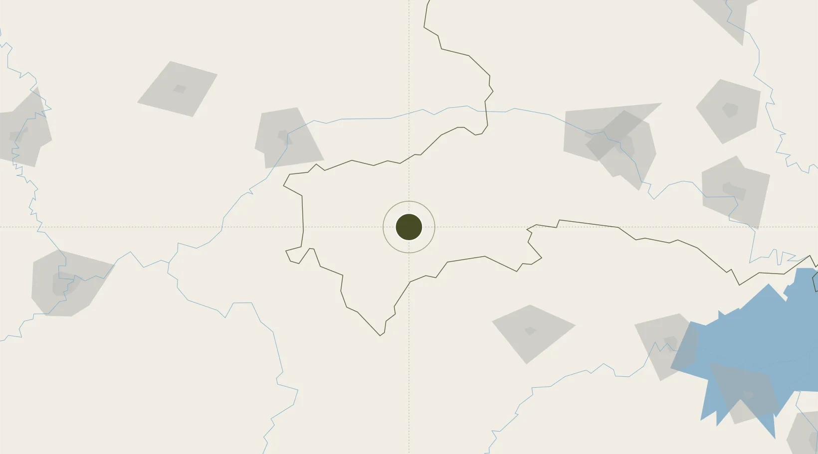
30.0353°, 109.4546°
1,000 ha
Zone area
467.5 km
Nearest port
31.8 km
Nearest airport

Gateway access

Nearest neighbours — logibook spatial index (haversine) over the source coordinates

Zone profile

Zone type
Export Processing Zone
Open Zone Map
Region
Hubei
Open Zone Map
Status
Active
Open Zone Map
Management
Public
Open Zone Map
Operator
Working Committee of Xuan'en Industrial Park
Open Zone Map
Legal framework
Hubei Xuan 'en Industrial Park Master Planning project
Open Zone Map

Location

Location of ozm-1251
Natural Earth 10m (public domain) · Hubei · ozm-1251 · 30.04, 109.45GoogleOSMYandex

Nearby Logistics Neighbours

Ports
  1. 1Hankow468 km
  2. 2Guangzhou856 km
  3. 3Huangpu868 km
  4. 4Huangpuxingang875 km
  5. 5Nanjing914 km
Nearest neighbours — logibook spatial index (haversine) over the source coordinates
Airports
  1. 1Enshi Xujiaping Airport32 km
  2. 2Qianjiang Wulingshan Airport84 km
  3. 3Chongqing Wushan Airport118 km
  4. 4Wanzhou Wuqiao Airport130 km
  5. 5Zhangjiajie Hehua International Airport141 km
Nearest neighbours — logibook spatial index (haversine) over the source coordinates
Cities
  1. 1Enshi28 km
  2. 2Zhangjiajie141 km
  3. 3Badong142 km
  4. 4Jishou193 km
  5. 5Jiangsi198 km
Nearest neighbours — logibook spatial index (haversine) over the source coordinates
Trade Zones
  1. 1Xianfeng Industrial Park44 km
  2. 2Laifeng Economic Development Zone59 km
  3. 3Fengjie Industrial Park119 km
  4. 4Yunyang Industrial Park120 km
  5. 5Shizhu Industrial Park129 km
Nearest neighbours — logibook spatial index (haversine) over the source coordinates
DatabookThe Record of Consolidated Knowledge
China beyond logistics?
Browse databook

All Sources

Trade ZonesOpen Zone Map
CC BY
Portsthe NGA World Port Index
Public domain (US gov)
AirportsOurAirports
Public domain
LocationsUN/LOCODE
UN/LOCODE — free
← China trade zones