Medium airport · China

Qianjiang Wulingshan AirportZUQJ
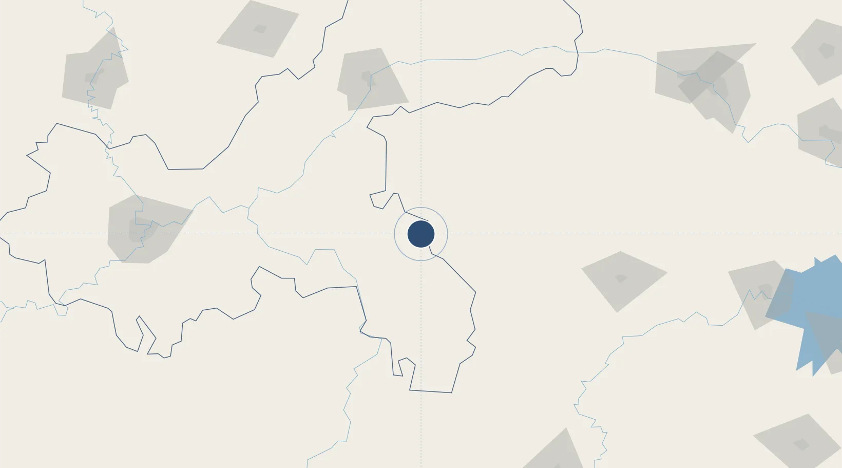
29.5133°, 108.8311°
7,874 ft
Longest runway
1
Runways
2,075 ft
Elevation

Runway & Layout

Qianjiang Wulingshan Airport runway & taxiway layout
Runway & taxiway layout — OpenStreetMap (ODbL) / OurAirports

Runways · 1

RunwayDimensions SurfaceTrue headingLit
03/21 7,874 × —ft
OurAirports

Airport Specifications

IATA code
JIQ
OurAirports
ICAO code
ZUQJ
OurAirports
Airport class
Medium airport
OurAirports
Scheduled service
Yes
OurAirports
Served city
Qianjiang
OurAirports

Location

Location of ZUQJ
Natural Earth 10m (public domain) · Chongqing · ZUQJ · 29.51, 108.83GoogleOSMYandex

Nearby Logistics Neighbours

Airports
  1. 1Enshi Xujiaping Airport110 km
  2. 2Chongqing Xiannüshan Airport110 km
  3. 3Xiangxi Biancheng Airport131 km
  4. 4Wanzhou Wuqiao Airport148 km
  5. 5Zhangjiajie Hehua International Airport163 km
Nearest neighbours — logibook spatial index (haversine) over the source coordinates
Cities
  1. 1Enshi106 km
  2. 2Jiangsi143 km
  3. 3Fuling143 km
  4. 4Jishou159 km
  5. 5Zhangjiajie162 km
Nearest neighbours — logibook spatial index (haversine) over the source coordinates
Ports
  1. 1Hankow538 km
  2. 2Guangzhou836 km
  3. 3Huangpu848 km
  4. 4Huangpuxingang856 km
  5. 5Fang-Cheng865 km
Nearest neighbours — logibook spatial index (haversine) over the source coordinates
Trade Zones
  1. 1Xianfeng Industrial Park41 km
  2. 2Pengshui Industrial Park53 km
  3. 3Laifeng Economic Development Zone56 km
  4. 4Xuanen Industrial Park84 km
  5. 5Shizhu Industrial Park87 km
Nearest neighbours — logibook spatial index (haversine) over the source coordinates
DatabookThe Record of Consolidated Knowledge
China beyond logistics?
Browse databook

All Sources

AirportsOurAirports
Public domain
Portsthe NGA World Port Index
Public domain (US gov)
LocationsUN/LOCODE
UN/LOCODE — free
Trade Zonesthe World Bank SEZ database
CC BY 4.0
Trade ZonesOpen Zone Map
CC BY
InfrastructureOpenStreetMap
ODbL 1.0
← China airports