Export Processing Zone · China

Wuxi Industrial Park Active
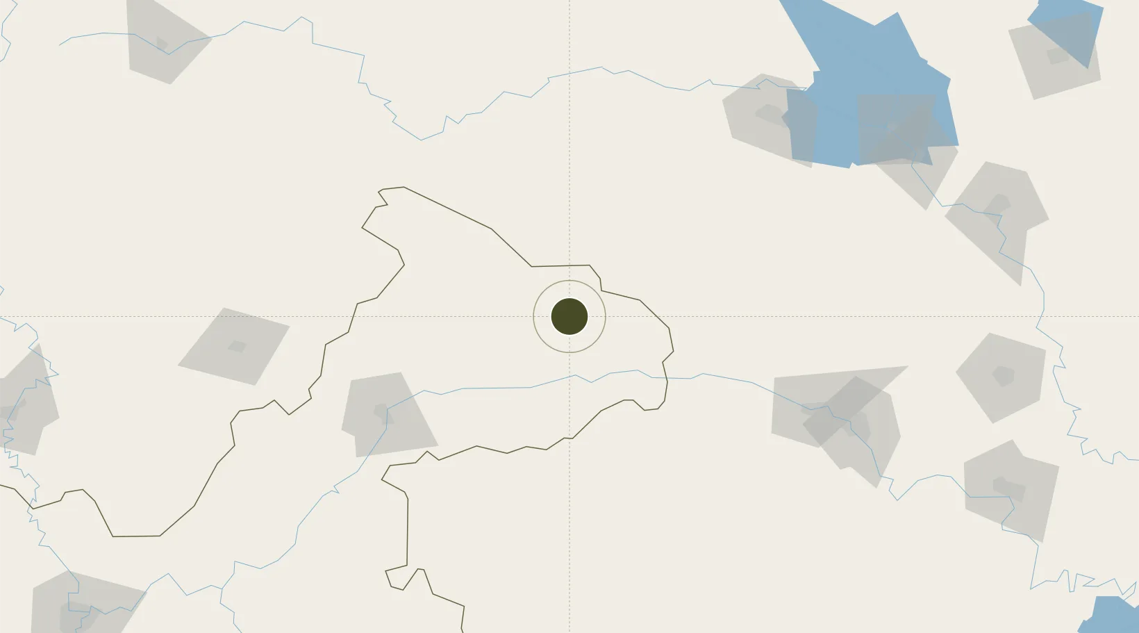
31.4026°, 109.5360°
137 ha
Zone area
461.6 km
Nearest port
40.6 km
Nearest airport

Gateway access

Nearest neighbours — logibook spatial index (haversine) over the source coordinates

Zone profile

Zone type
Export Processing Zone
Open Zone Map
Region
Chongqing
Open Zone Map
Status
Active
Open Zone Map
Management
Public
Open Zone Map
Operator
Management Committee of Wuxi Industrial Park
Open Zone Map
Legal framework
Unavailable
Open Zone Map

Location

Location of ozm-1044
Natural Earth 10m (public domain) · Chongqing · ozm-1044 · 31.40, 109.54GoogleOSMYandex

Nearby Logistics Neighbours

Ports
  1. 1Hankow462 km
  2. 2Nanjing874 km
  3. 3Zhenjiang939 km
  4. 4Yangzhou940 km
  5. 5Gaogang979 km
Nearest neighbours — logibook spatial index (haversine) over the source coordinates
Airports
  1. 1Chongqing Wushan Airport41 km
  2. 2Shennongjia Hongping Airport80 km
  3. 3Enshi Xujiaping Airport120 km
  4. 4Wanzhou Wuqiao Airport125 km
  5. 5Ankang Fuqiang Airport163 km
Nearest neighbours — logibook spatial index (haversine) over the source coordinates
Cities
  1. 1Badong90 km
  2. 2Enshi125 km
  3. 3Shiyan183 km
  4. 4Baiyang218 km
  5. 5Xiangfan256 km
Nearest neighbours — logibook spatial index (haversine) over the source coordinates
Trade Zones
  1. 1Fengjie Industrial Park36 km
  2. 2Yunyang Industrial Park92 km
  3. 3Zhuxi Industrial Park105 km
  4. 4Panshui Ecological Industrial Park109 km
  5. 5Kaizhou Industrial Park111 km
Nearest neighbours — logibook spatial index (haversine) over the source coordinates
DatabookThe Record of Consolidated Knowledge
China beyond logistics?
Browse databook

All Sources

Trade ZonesOpen Zone Map
CC BY
Portsthe NGA World Port Index
Public domain (US gov)
AirportsOurAirports
Public domain
LocationsUN/LOCODE
UN/LOCODE — free
← China trade zones