Runway & Layout

Runways · 1
| Runway | Dimensions | Surface | True heading | Lit |
|---|---|---|---|---|
| 11/29 | 7,874 × —ft | — | — | — |
Airport Specifications
IATA code
WXN
ICAO code
ZUWX
Airport class
Small airport
Scheduled service
Yes
Served city
Wanzhou
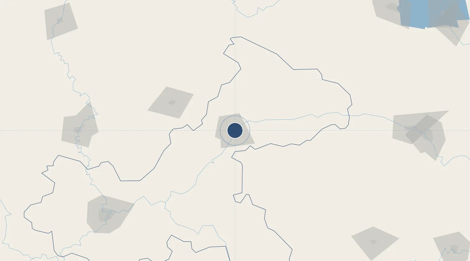
Location
Nearby Logistics Neighbours
Airports
- 1Dazhou Jinya Airport99 km
- 2Dachuan Airport102 km
- 3Enshi Xujiaping Airport114 km
- 4Chongqing Wushan Airport125 km
- 5Qianjiang Wulingshan Airport148 km
Cities
- 1Enshi116 km
- 2Fuling157 km
- 3Badong188 km
- 4Chongqing221 km
- 5Zhangjiajie270 km
Ports
- 1Hankow560 km
- 2Guangzhou978 km
- 3Nanjing989 km
- 4Huangpu990 km
- 5Huangpuxingang997 km
Trade Zones
DatabookThe Record of Consolidated Knowledge
China beyond logistics?