Transport Functions
Rail
Road
Airport
Multimodal
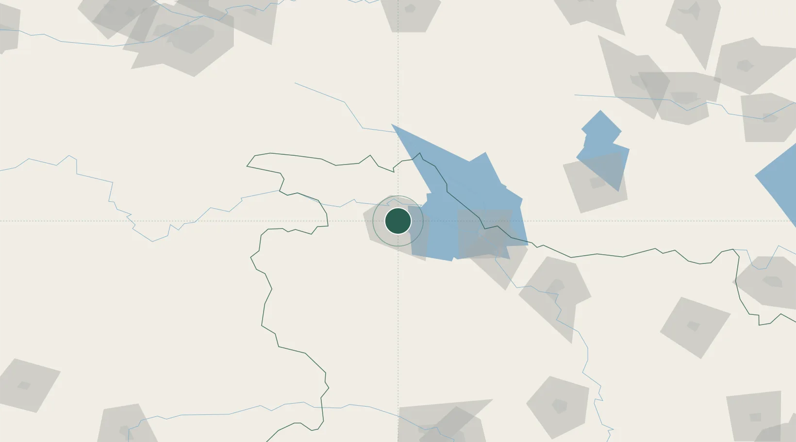
Hub Profile
Place type
Provincial seat
Region
Hubei
Population
3,460,000
Time zone
Asia/Shanghai
Elevation
247 m
Location
Nearby Logistics Neighbours
Ports
- 1Hankow404 km
- 2Nanjing751 km
- 3Yangzhou813 km
- 4Zhenjiang813 km
- 5Lianyungang834 km
Airports
DatabookThe Record of Consolidated Knowledge
China beyond logistics?