Diversified Zone · China

Guangze Industrial Park Active
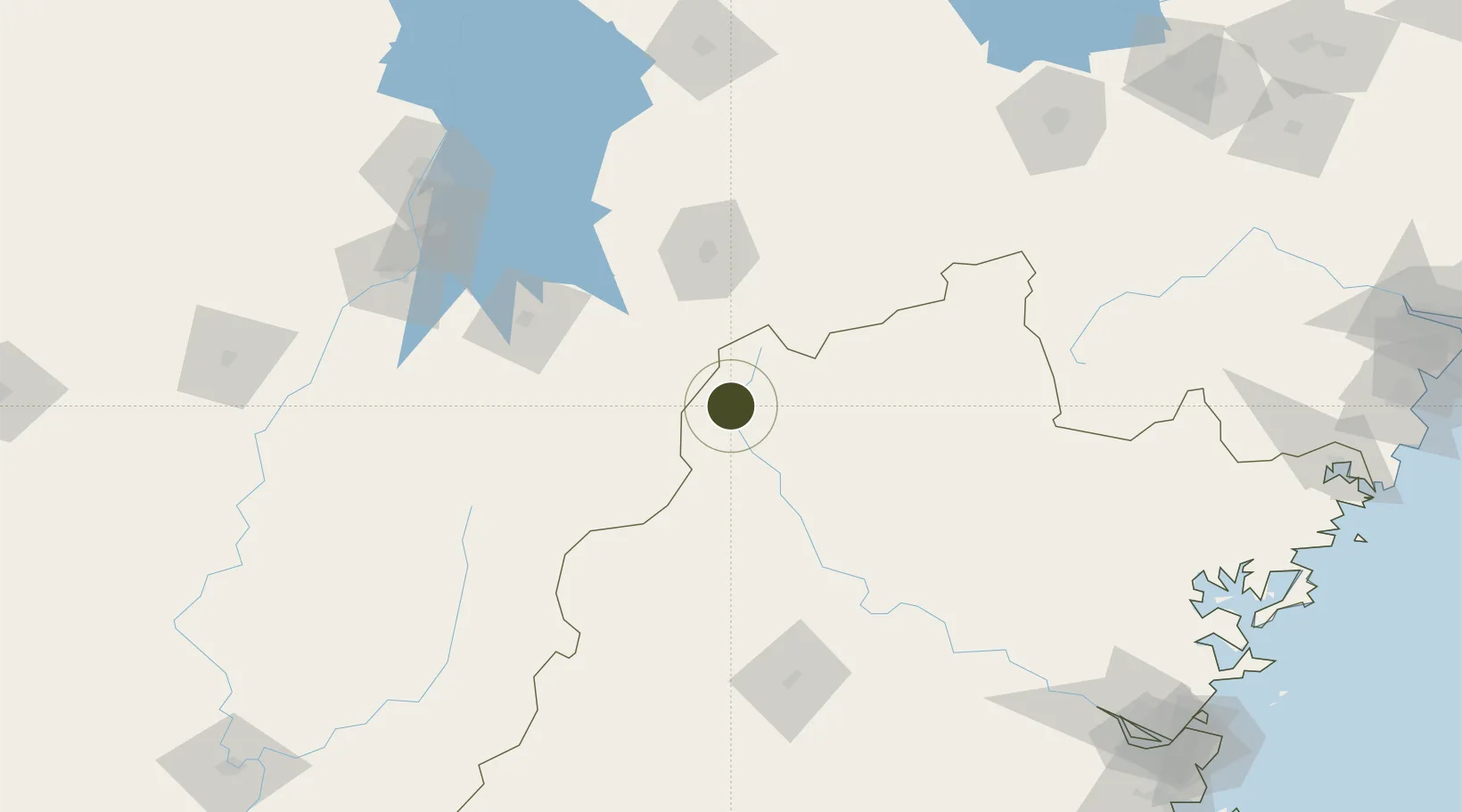
27.5852°, 117.3429°
2,340 ha
Zone area
256.1 km
Nearest port
66.1 km
Nearest airport

Gateway access

Nearest neighbours — logibook spatial index (haversine) over the source coordinates

Zone profile

Zone type
Diversified Zone
Open Zone Map
Region
Fujian
Open Zone Map
Status
Active
Open Zone Map
Management
Public
Open Zone Map
Operator
Guangze Industrial Park Management Committee
Open Zone Map
Legal framework
Fujian Luster industrial Park for the provincial development zone
Open Zone Map

Location

Location of ozm-844
Natural Earth 10m (public domain) · Fujian · ozm-844 · 27.59, 117.34GoogleOSMYandex

Nearby Logistics Neighbours

Ports
  1. 1Fuzhou256 km
  2. 2Xiuyu308 km
  3. 3Quanzhou326 km
  4. 4Wenzhou329 km
  5. 5Zhangzhou333 km
Nearest neighbours — logibook spatial index (haversine) over the source coordinates
Airports
  1. 1Nanping Wuyishan Airport66 km
  2. 2Shangrao Sanqingshan Airport107 km
  3. 3Sanming Shaxian Airport138 km
  4. 4Nanchang Xiangtang Air Base168 km
  5. 5Zhangshu Air Base183 km
Nearest neighbours — logibook spatial index (haversine) over the source coordinates
Cities
  1. 1Yingtan83 km
  2. 2Xili93 km
  3. 3Nanping102 km
  4. 4Fuzhou118 km
  5. 5Sanming / Shanming Shi153 km
Nearest neighbours — logibook spatial index (haversine) over the source coordinates
Trade Zones
  1. 1Jinxi Industrial Park68 km
  2. 2Taining Industrial Park75 km
  3. 3Guixi Economic Development Zone79 km
  4. 4Nanfeng Industrial Park87 km
  5. 5Yujiang Industrial Park88 km
Nearest neighbours — logibook spatial index (haversine) over the source coordinates
DatabookThe Record of Consolidated Knowledge
China beyond logistics?
Browse databook

All Sources

Trade ZonesOpen Zone Map
CC BY
Portsthe NGA World Port Index
Public domain (US gov)
AirportsOurAirports
Public domain
LocationsUN/LOCODE
UN/LOCODE — free
← China trade zones