Medium airport · Mongolia
Dalanzadgad AirportZMDZ
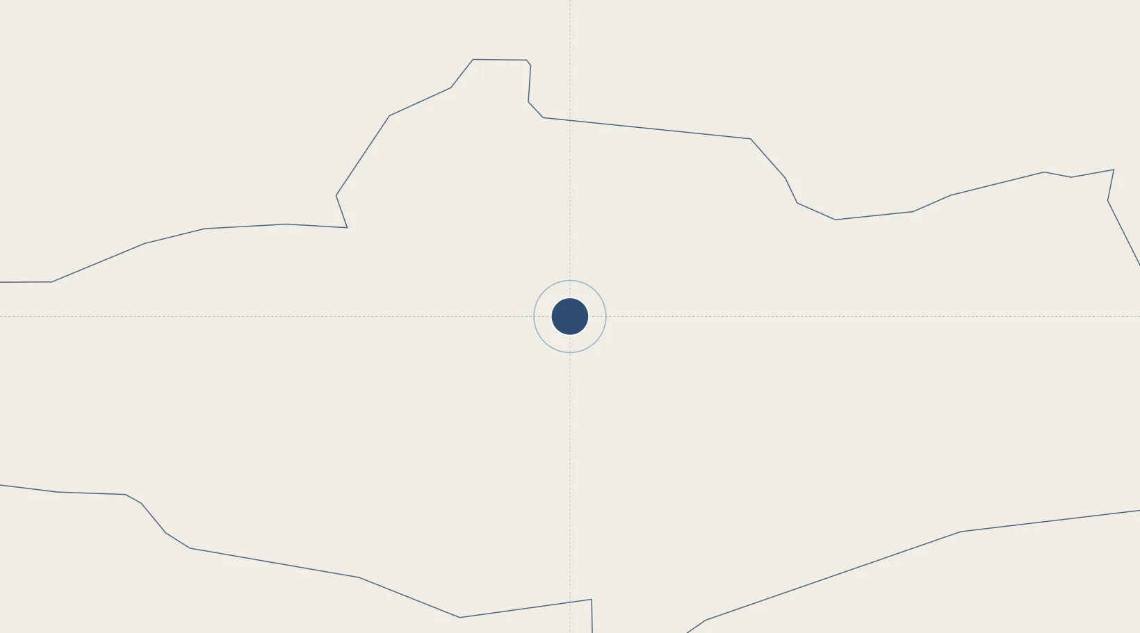
43.6086°, 104.3677°
7,545 ft
Longest runway
1
Runways
4,787 ft
Elevation
Runway & Layout

Radio Frequencies
APP
128 MHz
HONGOR APP
RDO
550.5 MHz
HONGOR RDO
Navaids
UG NDB Dalanzadgad 430 kHz
Runways · 1
| Runway | Dimensions | Surface | True heading | Lit |
|---|---|---|---|---|
| 03/21 | 7,545 × 164ft | Concrete | 026° | — |
Airport Specifications
IATA code
DLZ
ICAO code
ZMDZ
Airport class
Medium airport
Scheduled service
Yes
Runway surface
Concrete
Served city
Dalanzadgad
Location
Nearby Logistics Neighbours
Airports
- 1Mandalgobi Airport281 km
- 2Arvaikheer Airport319 km
- 3Ruad Zhongqi Hailiutu Airport391 km
- 4Bayankhongor Airport405 km
- 5Bayannur Tianjitai Airport407 km
Cities
- 1Gangimaodu291 km
- 2Bayannur404 km
- 3Bayan Obo501 km
- 4Höchstädt an der Donau558 km
- 5Baotou571 km
Ports
- 1Tianjin Xin Gang1236 km
- 2Tangshan (Jingtang)1314 km
- 3Qinhuangdao1327 km
- 4Huludao Gang1405 km
- 5Jinzhou Wan1412 km
DatabookThe Record of Consolidated Knowledge
Mongolia beyond logistics?