Medium airport · Mongolia

Bayankhongor AirportZMBH
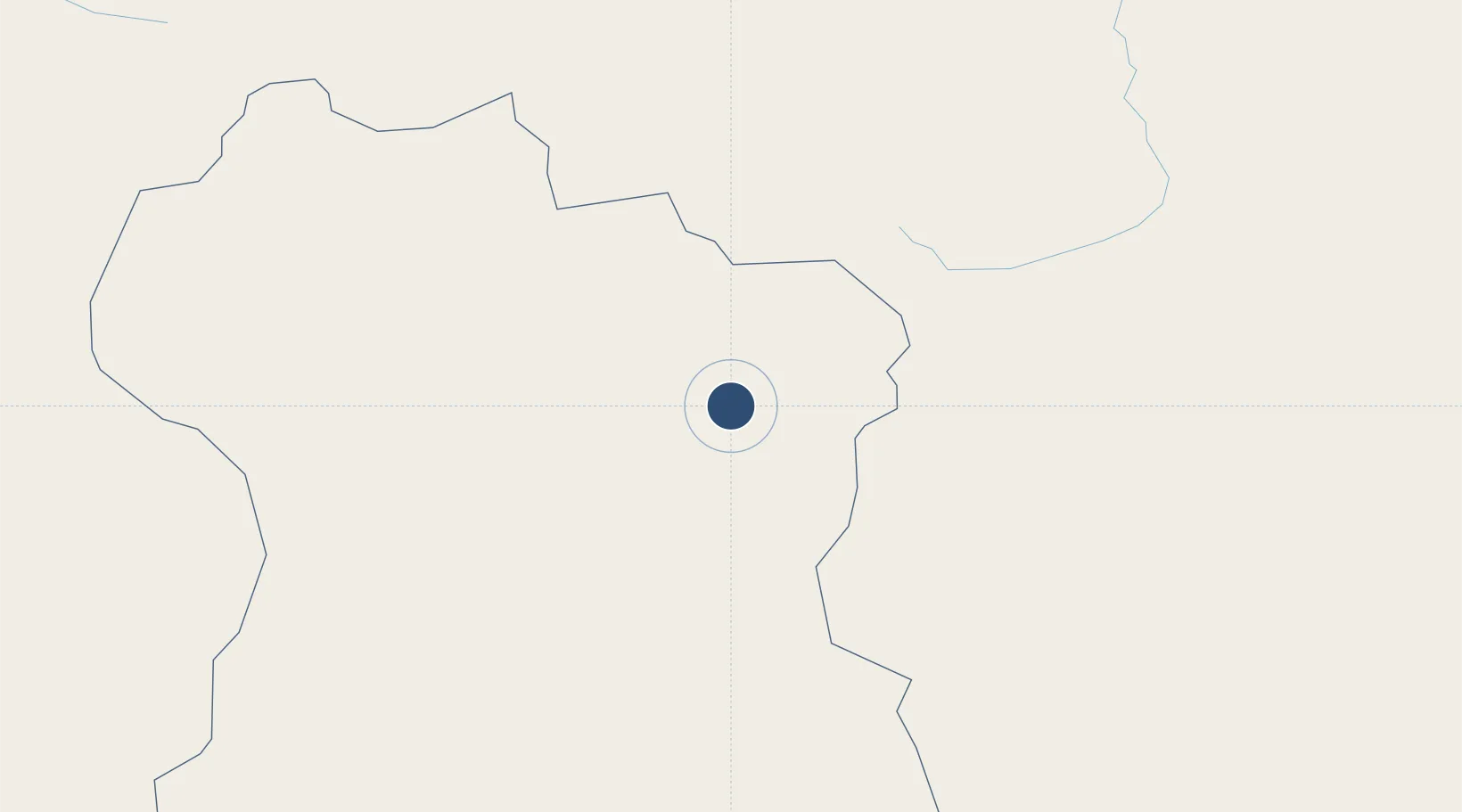
46.1633°, 100.7040°
9,186 ft
Longest runway
1
Runways
6,085 ft
Elevation

Runway & Layout

Bayankhongor Airport runway & taxiway layout
Runway & taxiway layout — OpenStreetMap (ODbL) / OurAirports

Radio Frequencies

APP
130 MHz
RDO
571.5 MHz
OurAirports

Navaids

BH NDB Bayankhongor 480 kHz
OurAirports

Runways · 1

RunwayDimensions SurfaceTrue headingLit
16/34 9,186 × 114ft Asphalt 157°
OurAirports

Airport Specifications

IATA code
BYN
OurAirports
ICAO code
ZMBH
OurAirports
Airport class
Medium airport
OurAirports
Scheduled service
Yes
OurAirports
Runway surface
Asphalt
OurAirports
Served city
Bayankhongor
OurAirports

Location

Location of ZMBH
Natural Earth 10m (public domain) · Bayanhongor · ZMBH · 46.16, 100.70GoogleOSMYandex

Nearby Logistics Neighbours

Airports
  1. 1Arvaikheer Airport162 km
  2. 2Altai Airport345 km
  3. 3Donoi Airport361 km
  4. 4Bulgan Airport365 km
  5. 5Mörön Airport392 km
Nearest neighbours — logibook spatial index (haversine) over the source coordinates
Cities
  1. 1Höchstädt an der Donau351 km
  2. 2Teluk Rubiah406 km
  3. 3Grande Pointe469 km
  4. 4Keulrod551 km
  5. 5Ammern592 km
Nearest neighbours — logibook spatial index (haversine) over the source coordinates
Ports
  1. 1Tianjin Xin Gang1610 km
  2. 2Tangshan (Jingtang)1680 km
  3. 3Qinhuangdao1680 km
  4. 4Huludao Gang1741 km
  5. 5Jinzhou Wan1747 km
Nearest neighbours — logibook spatial index (haversine) over the source coordinates
Trade Zones
  1. 1Ceke Port Economic Development Zone400 km
  2. 2Altanbulag Special Economic Zone627 km
  3. 3Baikal Gates Special Economic Zone646 km
  4. 4Hami High-tech Industrial Development Zone670 km
  5. 5Jinta Industrial Concentration Zone705 km
Nearest neighbours — logibook spatial index (haversine) over the source coordinates
DatabookThe Record of Consolidated Knowledge
Mongolia beyond logistics?
Browse databook

All Sources

AirportsOurAirports
Public domain
Portsthe NGA World Port Index
Public domain (US gov)
LocationsUN/LOCODE
UN/LOCODE — free
Trade Zonesthe World Bank SEZ database
CC BY 4.0
Trade ZonesOpen Zone Map
CC BY
InfrastructureOpenStreetMap
ODbL 1.0
← Mongolia airports