Runway & Layout

Airport Specifications
IATA code
ULZ
ICAO code
ZMDN
Airport class
Small airport
Scheduled service
Yes
Served city
Uliastai
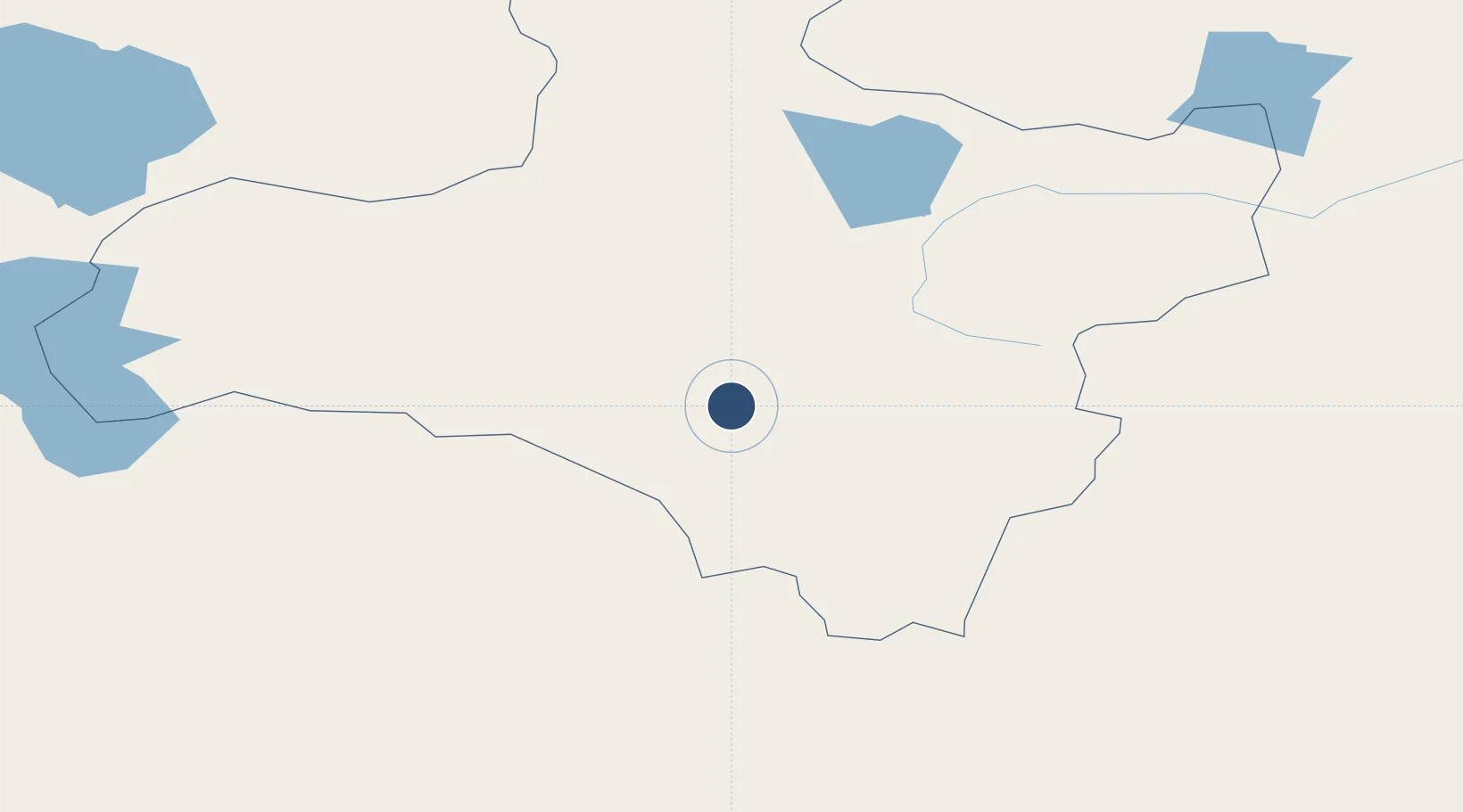
Location
Nearby Logistics Neighbours
Airports
- 1Altai Airport150 km
- 2Mörön Airport341 km
- 3Bayankhongor Airport361 km
- 4Khovd Airport367 km
- 5Ulaangom Airport426 km
Cities
- 1Grande Pointe238 km
- 2Teluk Rubiah381 km
- 3Bussnang484 km
- 4Höchstädt an der Donau539 km
- 5Chatfield547 km
Ports
- 1Tianjin Xin Gang1969 km
- 2Qinhuangdao2034 km
- 3Tangshan (Jingtang)2037 km
- 4Igarka2268 km
- 5Rizhao2342 km
Trade Zones
DatabookThe Record of Consolidated Knowledge
Mongolia beyond logistics?