Medium airport · Mongolia
Altai AirportZMAT
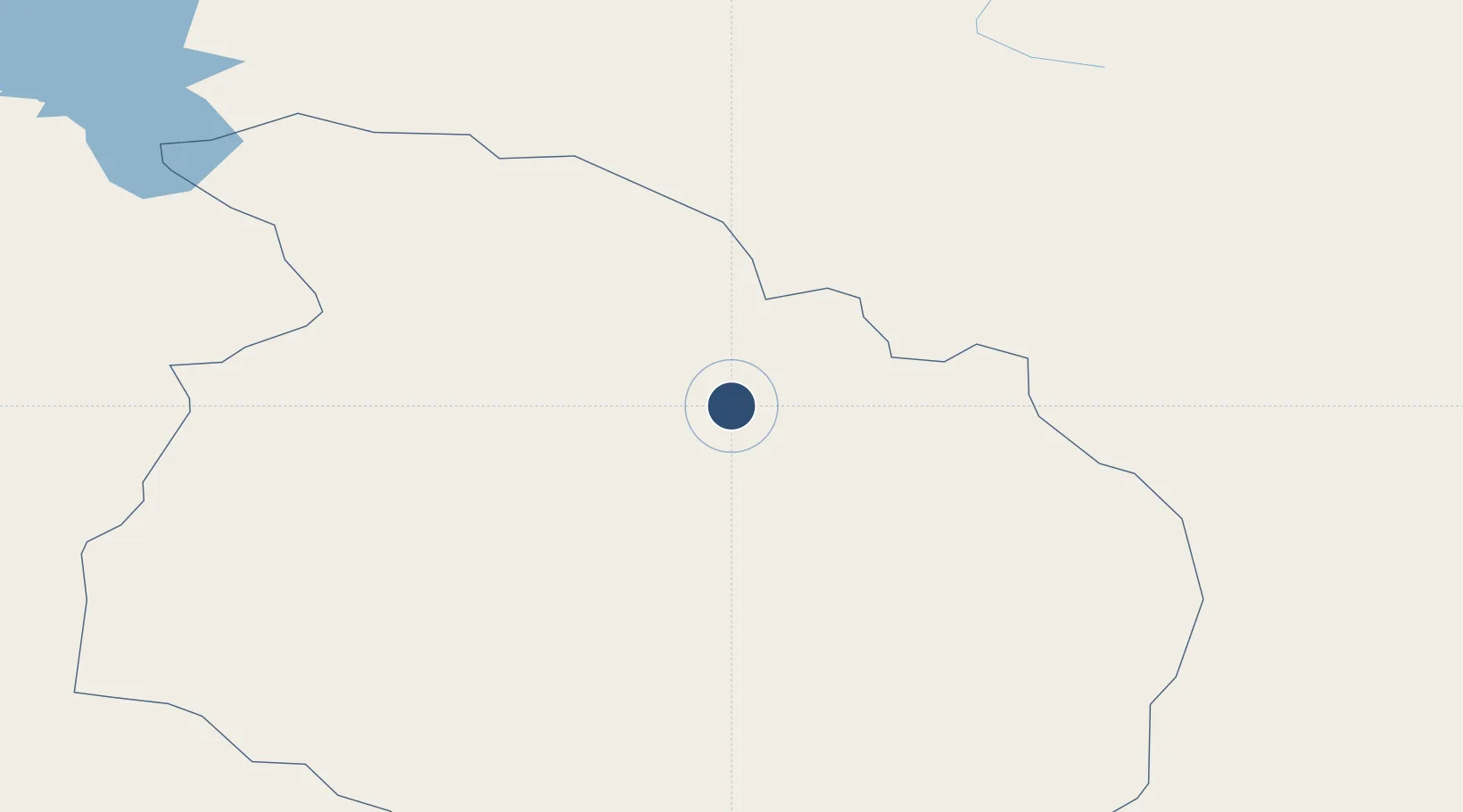
46.3764°, 96.2211°
7,513 ft
Longest runway
1
Runways
7,260 ft
Elevation
Runway & Layout

Navaids
B NDB Altai 425 kHz
GA NDB Altai 364 kHz
Runways · 1
| Runway | Dimensions | Surface | True heading | Lit |
|---|---|---|---|---|
| 10/28 | 7,513 × —ft | Unknown | — | — |
Airport Specifications
IATA code
LTI
ICAO code
ZMAT
Airport class
Medium airport
Scheduled service
Yes
Runway surface
Unknown
Served city
Altai
Location
Nearby Logistics Neighbours
Airports
- 1Donoi Airport150 km
- 2Bayankhongor Airport345 km
- 3Khovd Airport389 km
- 4Hami Airport442 km
- 5Yaerbashi Test Range455 km
Cities
- 1Grande Pointe388 km
- 2Chatfield425 km
- 3Bussnang485 km
- 4Teluk Rubiah503 km
- 5Höchstädt an der Donau611 km
Ports
- 1Tianjin Xin Gang1941 km
- 2Tangshan (Jingtang)2015 km
- 3Qinhuangdao2019 km
- 4Rizhao2299 km
- 5Lanshan2306 km
Trade Zones
DatabookThe Record of Consolidated Knowledge
Mongolia beyond logistics?