Transport Functions
Multimodal
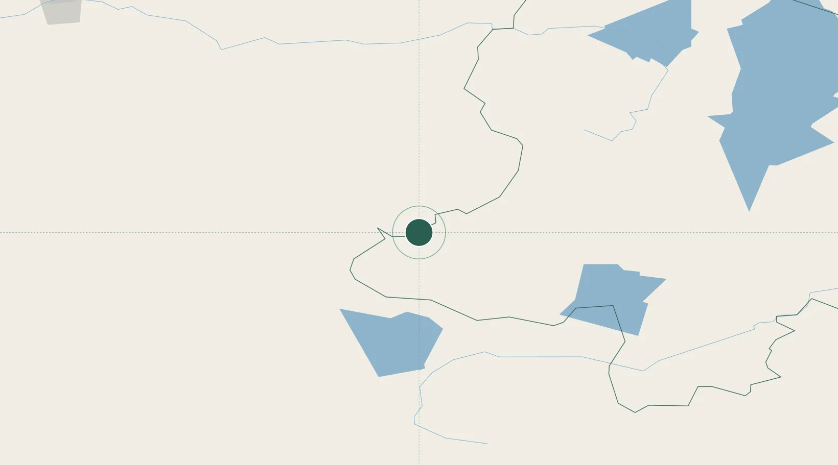
Hub Profile
Place type
Populated place
Region
Manitoba
Time zone
America/Winnipeg
Elevation
232 m
Location
Nearby Logistics Neighbours
Cities
- 1Teluk Rubiah229 km
- 2Ammern437 km
- 3Haynrode466 km
- 4Höchstädt an der Donau471 km
- 5Keulrod487 km
Ports
- 1Tianjin Xin Gang2007 km
- 2Qinhuangdao2051 km
- 3Igarka2058 km
- 4Tangshan (Jingtang)2065 km
- 5Dudinka2265 km
Airports
- 1Mörön Airport192 km
- 2Donoi Airport238 km
- 3Kyzyl Airport301 km
- 4Altai Airport388 km
- 5Ulaangom Airport395 km
Trade Zones
DatabookThe Record of Consolidated Knowledge
Canada beyond logistics?