UN/LOCODE hub · Australia
AUFRE
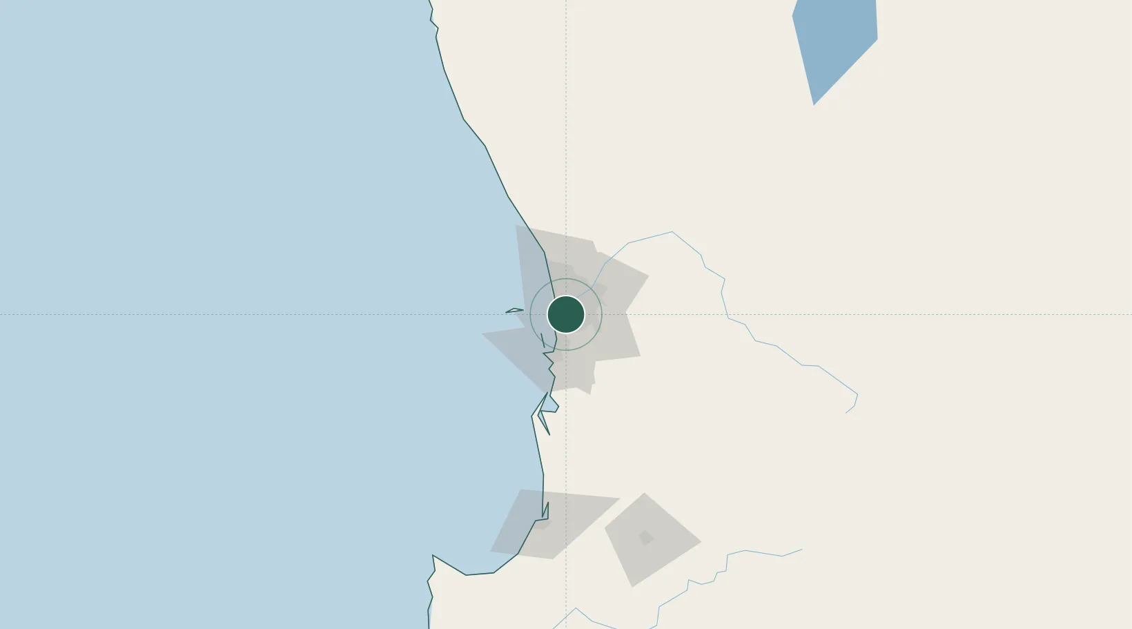
Fremantle
-32.0333°, 115.8142°
8,616
Population
2
Transport functions
3
Container terminals
Transport Functions
Port
Airport
Hub Profile
Place type
Urban district
Region
Western Australia
Population
8,616
Time zone
Australia/Perth
Elevation
7 m
Logistics facilities
58
Container terminals
3
Location
Nearby Logistics Neighbours
Cities
- 1Willagee2 km
- 2Applecross3 km
- 3Attadale4 km
- 4Bibra Lake4 km
- 5Bicton5 km
Ports
- 1Bunbury144 km
- 2Geraldton380 km
- 3Albany385 km
- 4Esperance603 km
- 5Useless Loop702 km
Airports
- 1Perth Jandakot Airport10 km
- 2Perth International Airport18 km
- 3RAAF Base Pearce45 km
- 4Busselton Margaret River Regional Airport188 km
- 5Karara Airport324 km
Trade Zones
- 1KEK Mandalika2573 km
- 2Oecusse Ambeno Enclave Special Zone For Social Market Economy (Zeesm)2671 km
- 3KEK Singhasari2706 km
- 4Pasuruan Industrial Estate Rembang2734 km
- 5Ngoro Industrial Park2741 km
DatabookThe Record of Consolidated Knowledge
Australia beyond logistics?