Transport Functions
Rail
Road
Airport
Hub Profile
Place type
Populated place
Region
Western Australia
Population
660
Time zone
Australia/Perth
Elevation
429 m
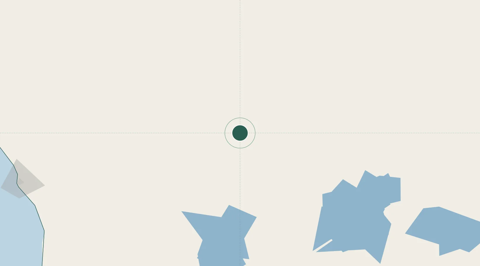
Location
Nearby Logistics Neighbours
Cities
- 1Melville109 km
- 2Pindar208 km
- 3Bencubbin308 km
- 4Port Denison314 km
- 5Mukinbudin321 km
Ports
- 1Geraldton327 km
- 2Fremantle488 km
- 3Useless Loop490 km
- 4Cape Cuvier616 km
- 5Bunbury622 km
Airports
- 1Mount Magnet Airport7 km
- 2Karara Airport171 km
- 3Meekatharra Airport175 km
- 4Mount Keith Airport281 km
- 5Leinster Airport283 km
Trade Zones
- 1KEK Mandalika2136 km
- 2Oecusse Ambeno Enclave Special Zone For Social Market Economy (Zeesm)2189 km
- 3KEK Singhasari2308 km
- 4Pasuruan Industrial Estate Rembang2334 km
- 5Ngoro Industrial Park2343 km
DatabookThe Record of Consolidated Knowledge
Australia beyond logistics?